by Tracy | Aug 31, 2017 | Bike Ride, Events
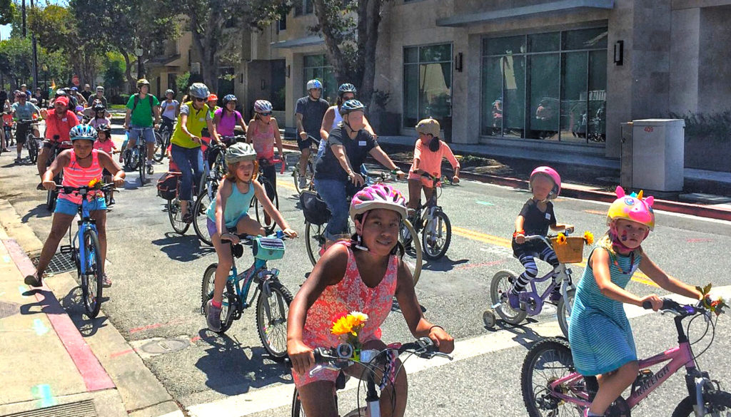
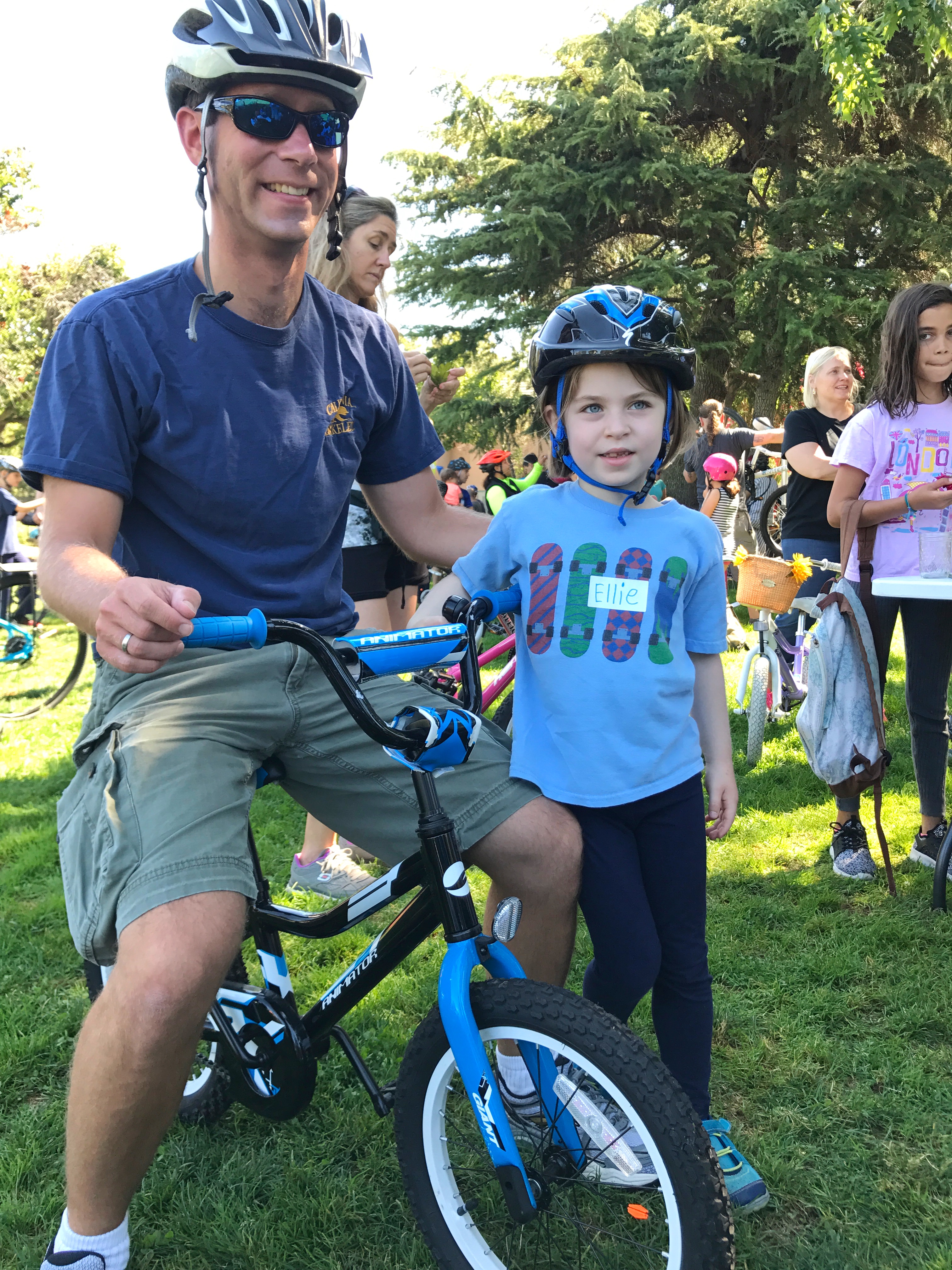
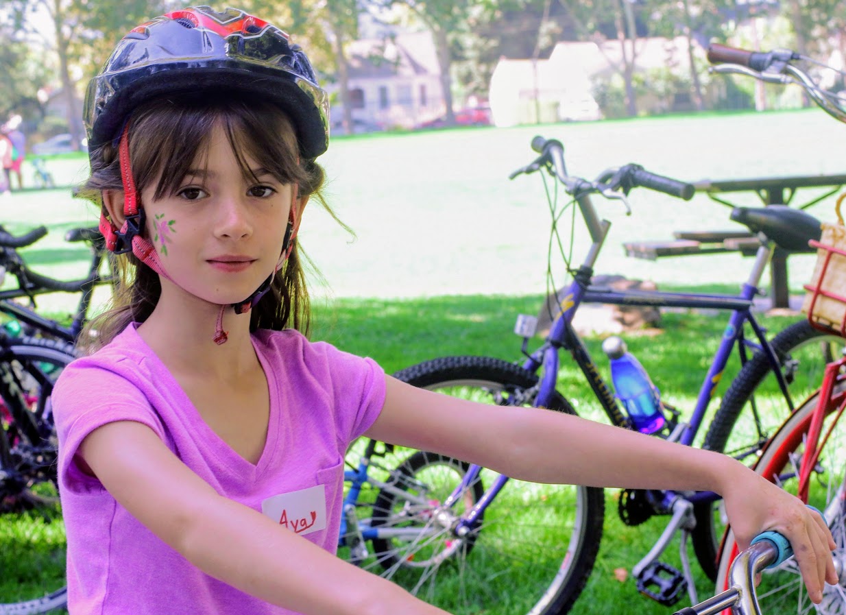
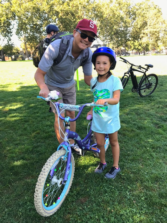
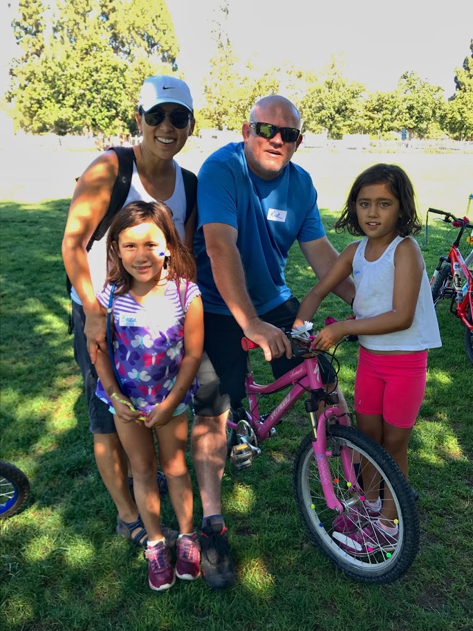
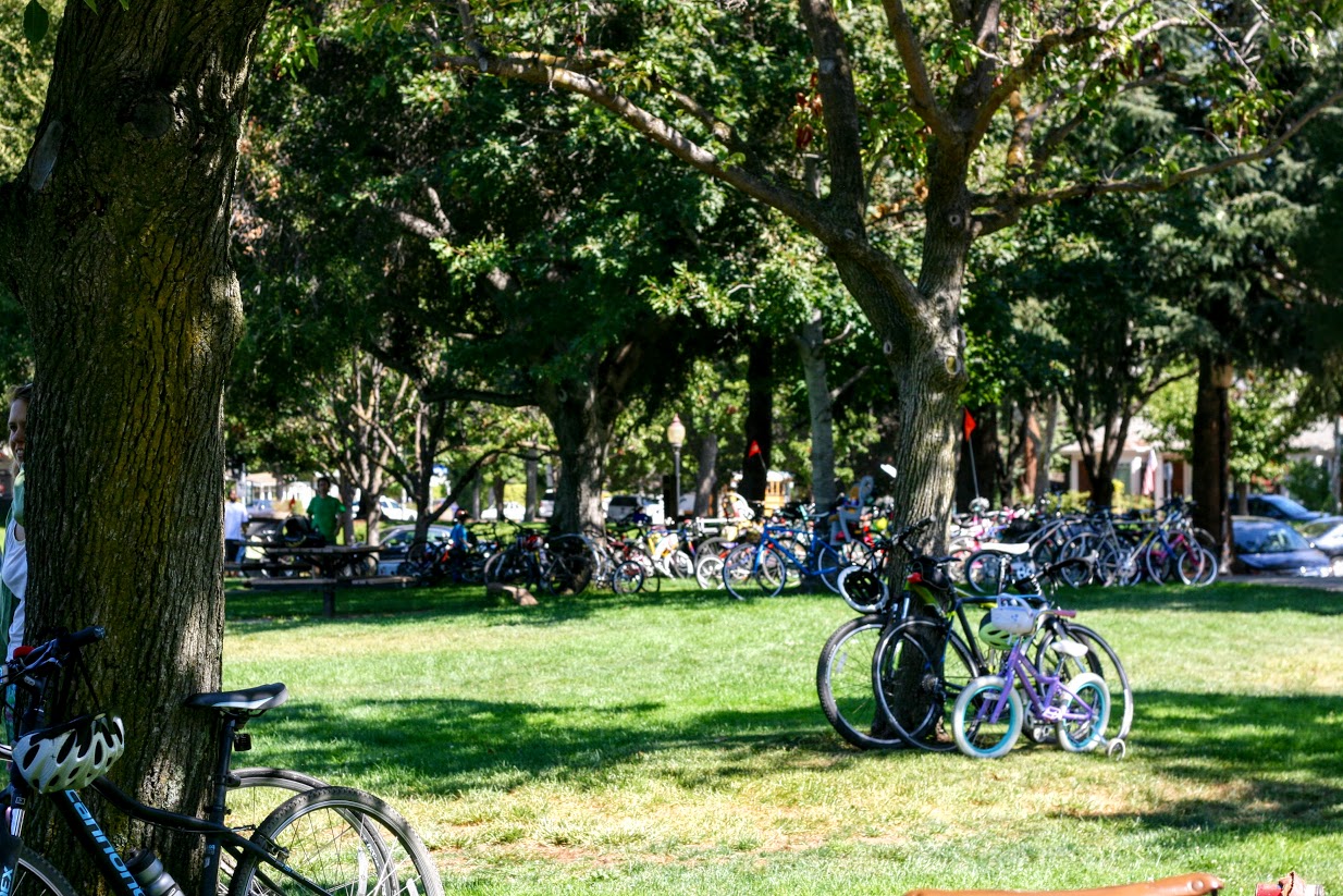
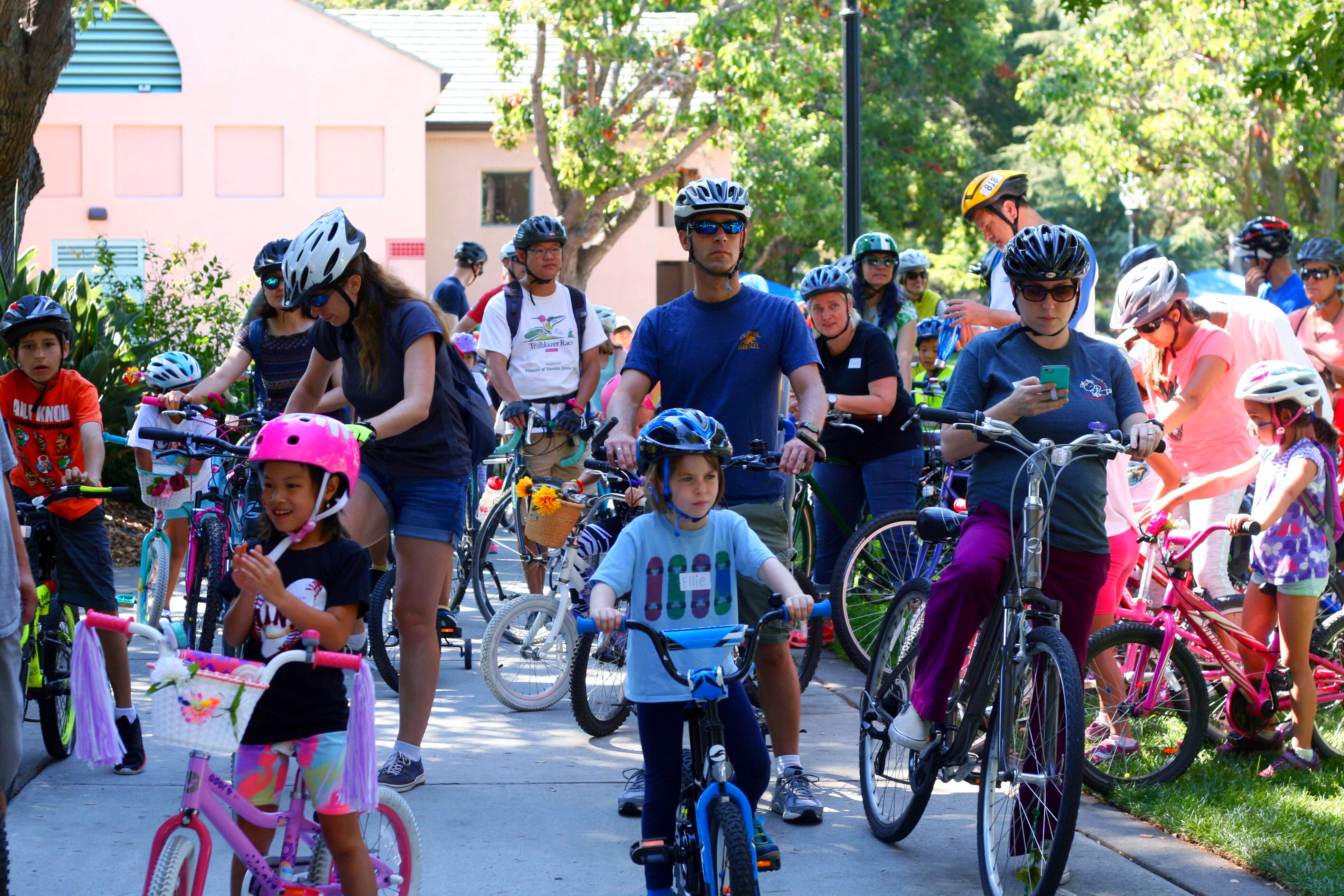
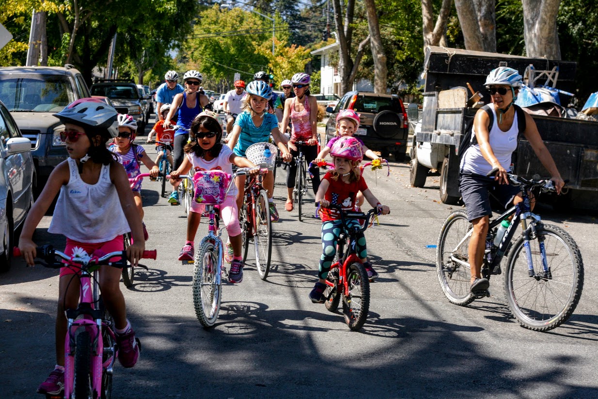
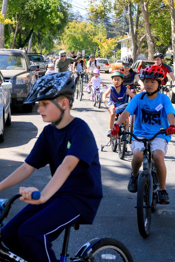
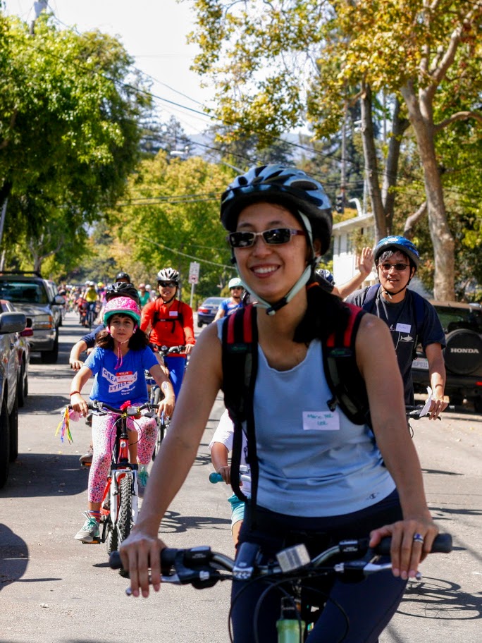
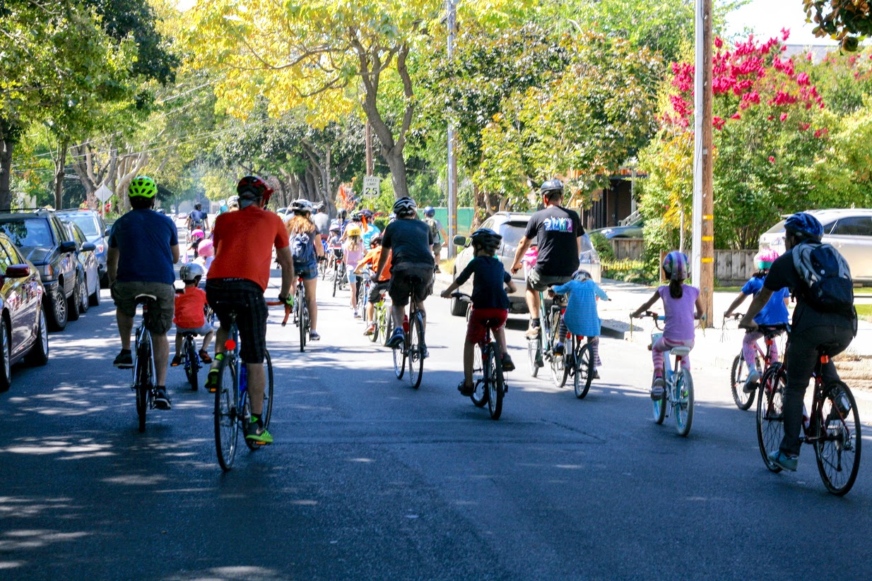
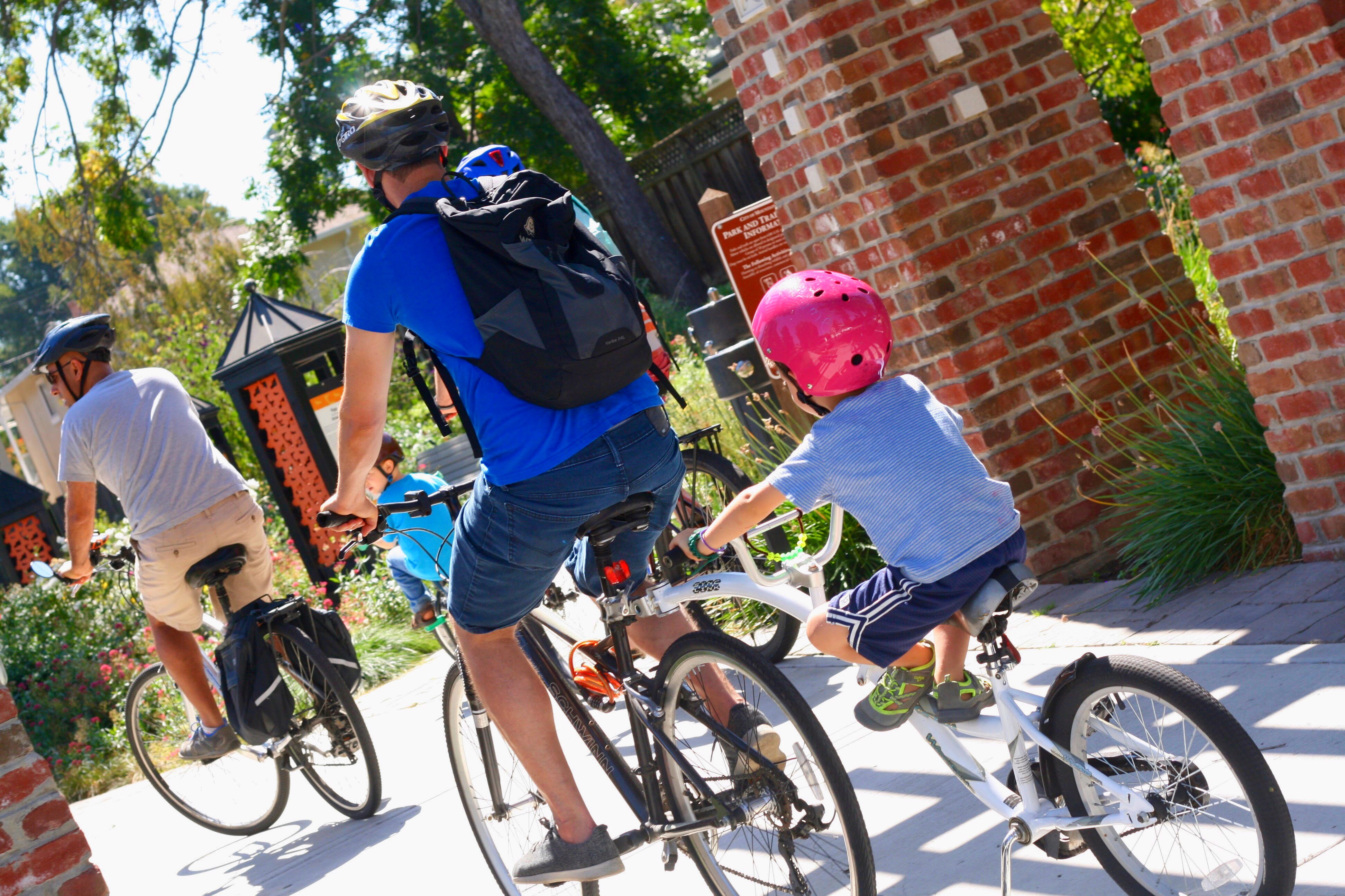
It was great to see so many families join us for the 3rd Annual Mountain View Family Bike Ride on Saturday! 149 riders joined us, our biggest Family Bike Ride crowd yet.
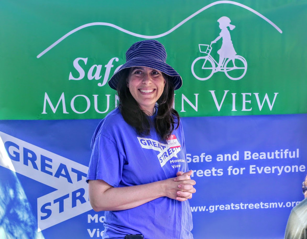
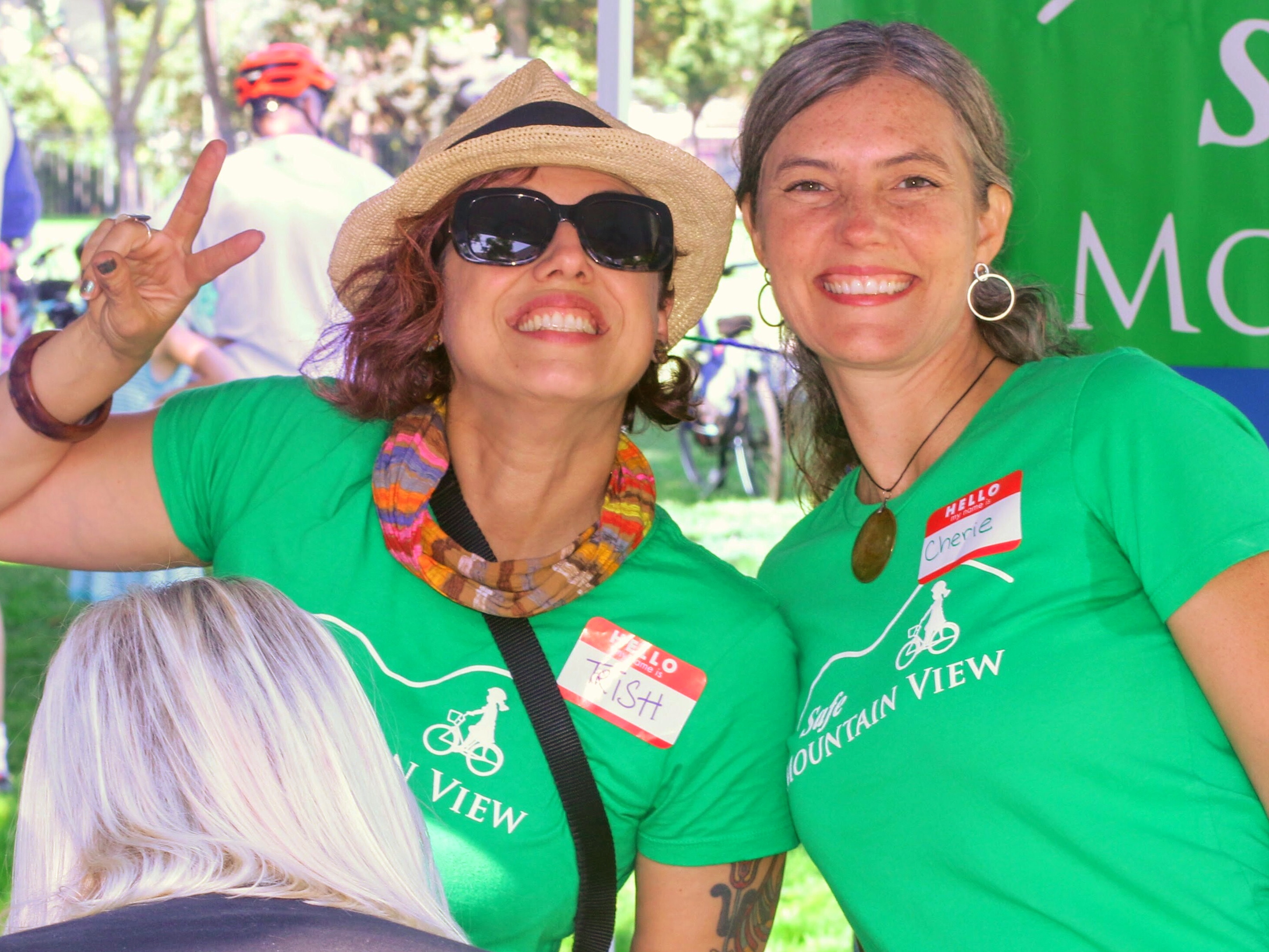
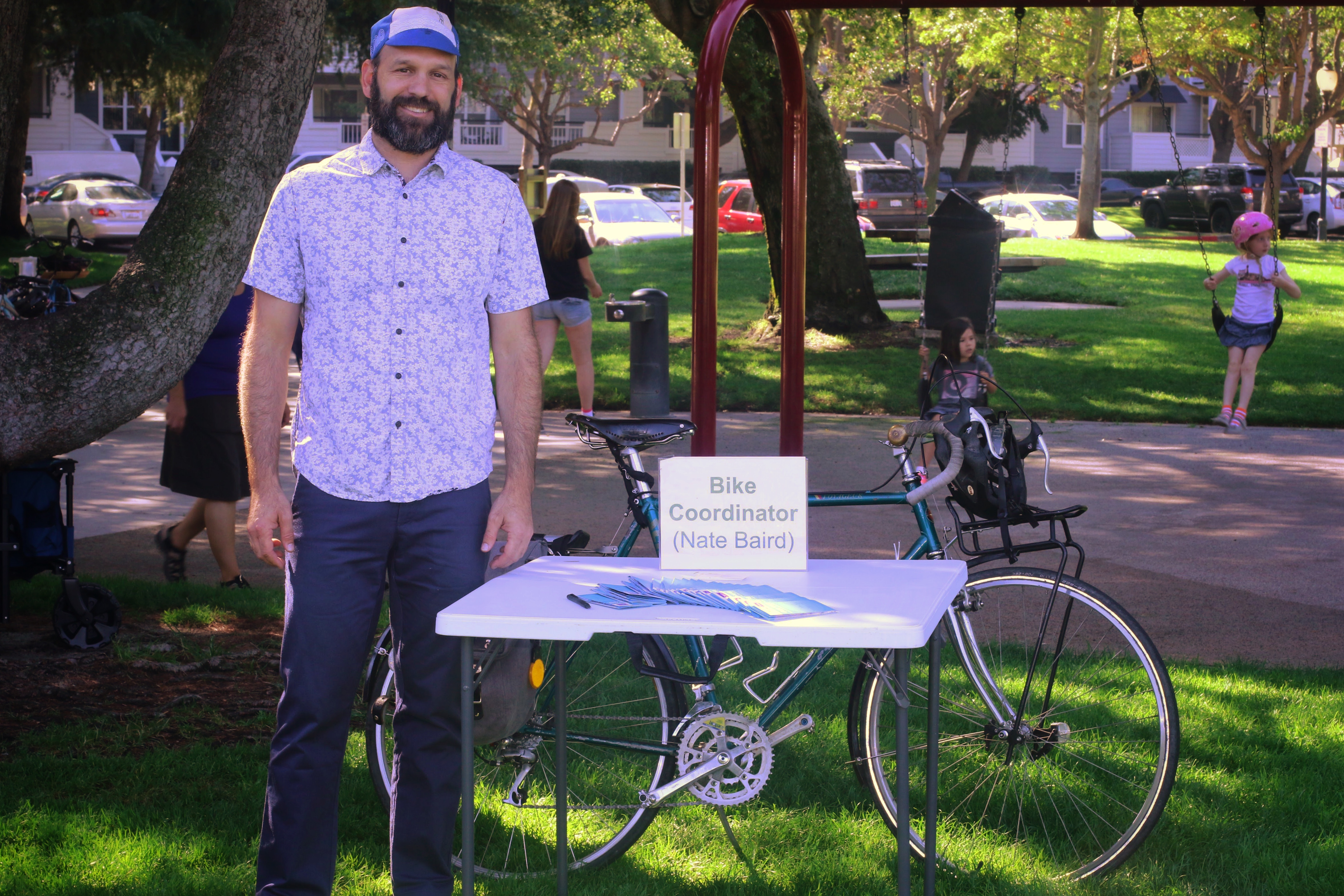
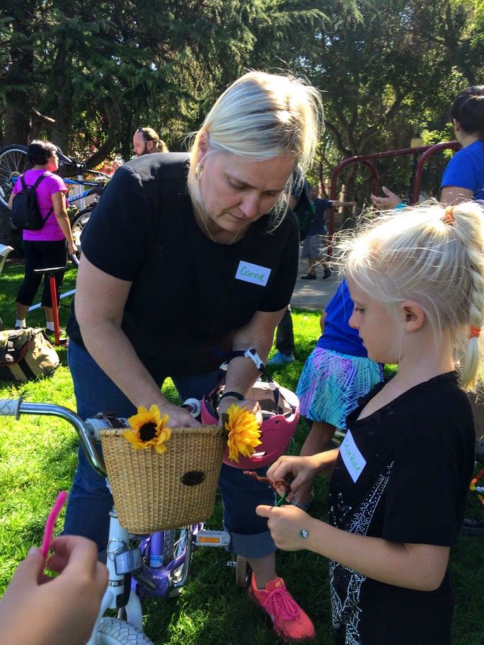
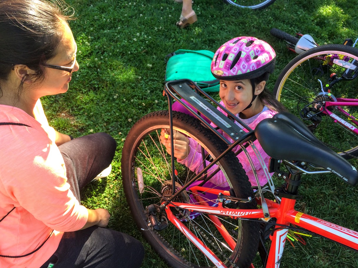
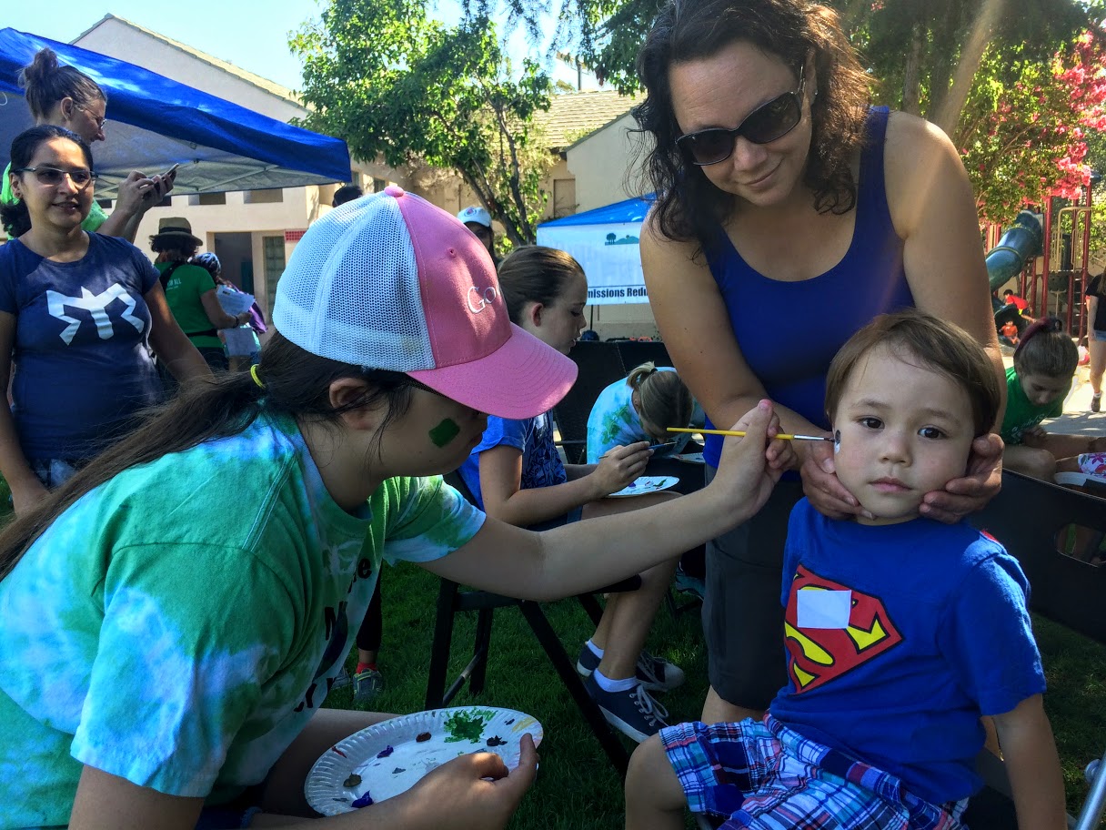
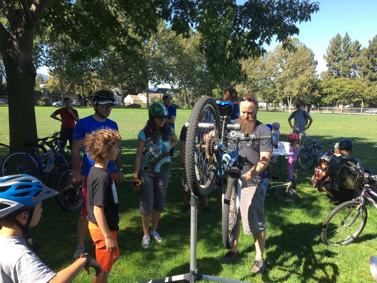
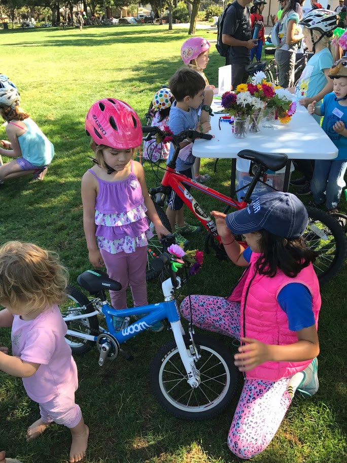
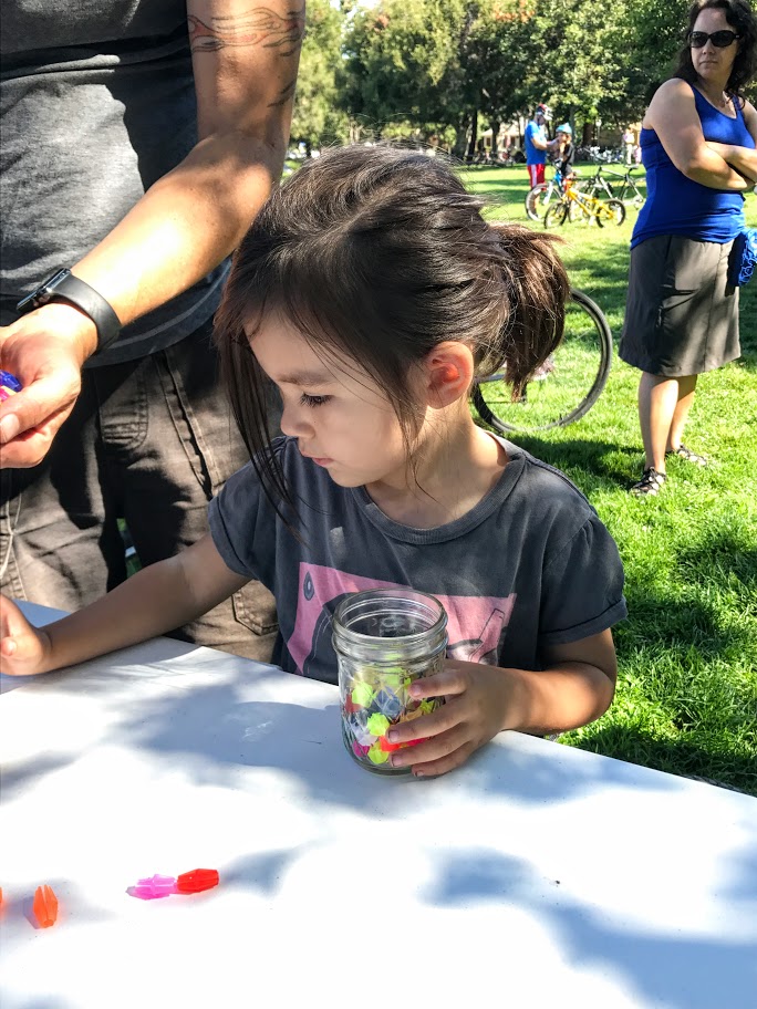
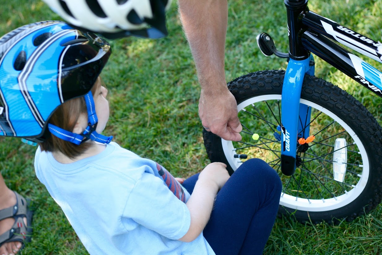
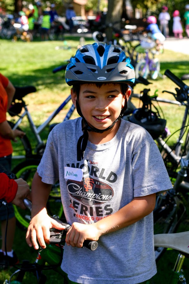
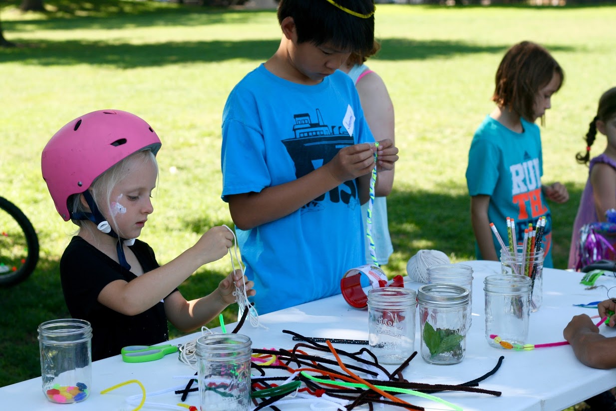
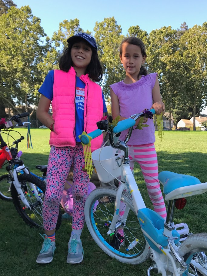
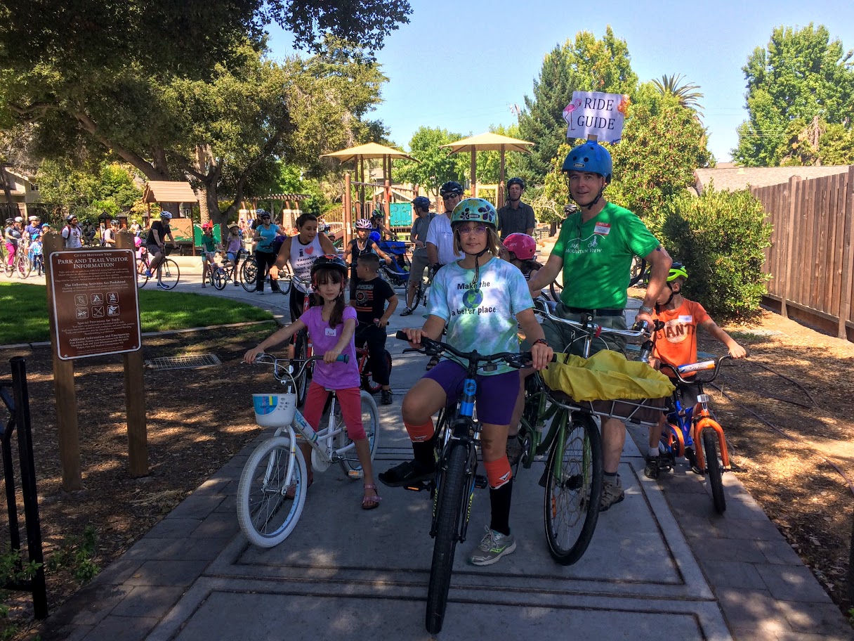
We gathered in Eagle Park at 10am under a beautiful blue sky. After signing-in, riders socialized, chatted with Nate Baird our Mountain View Bike Coordinator, and explored the family activities including bike decorating, face painting, helmet fitting, and bike tune-ups.
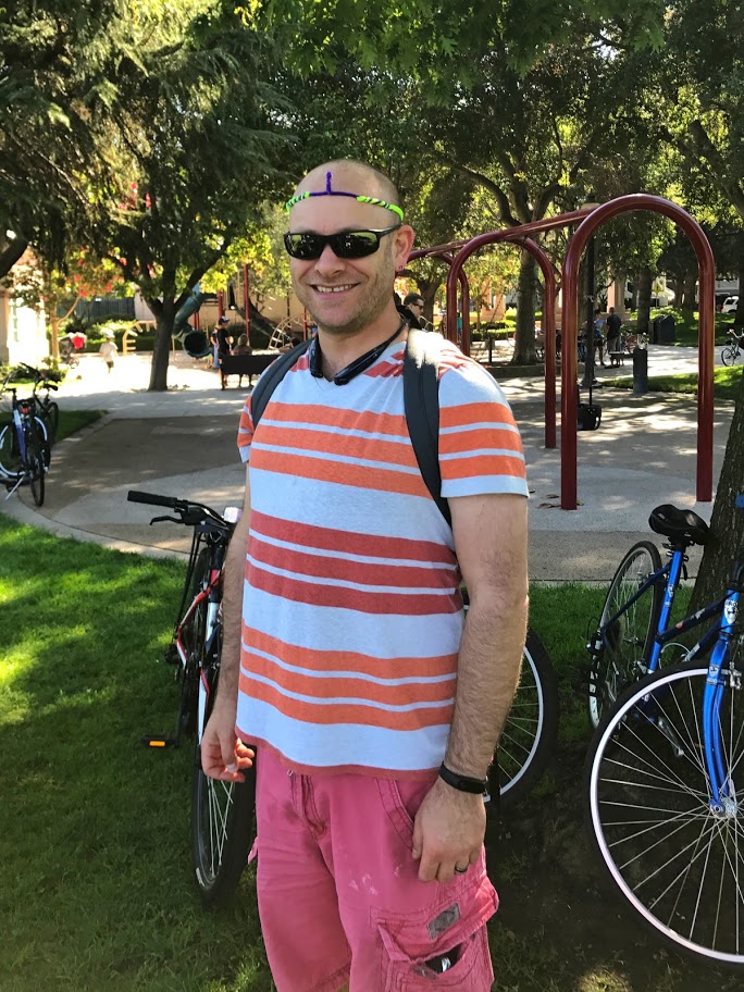
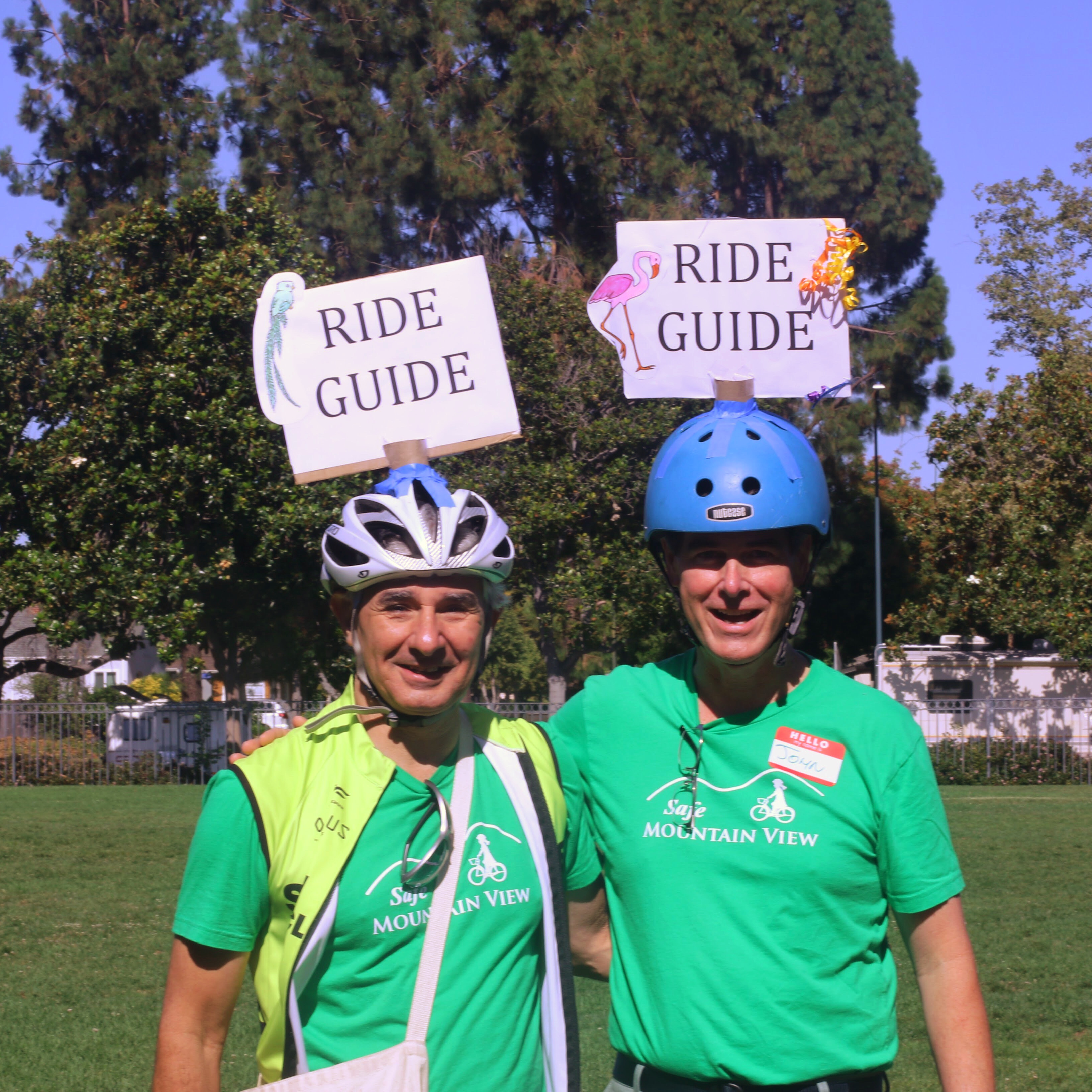
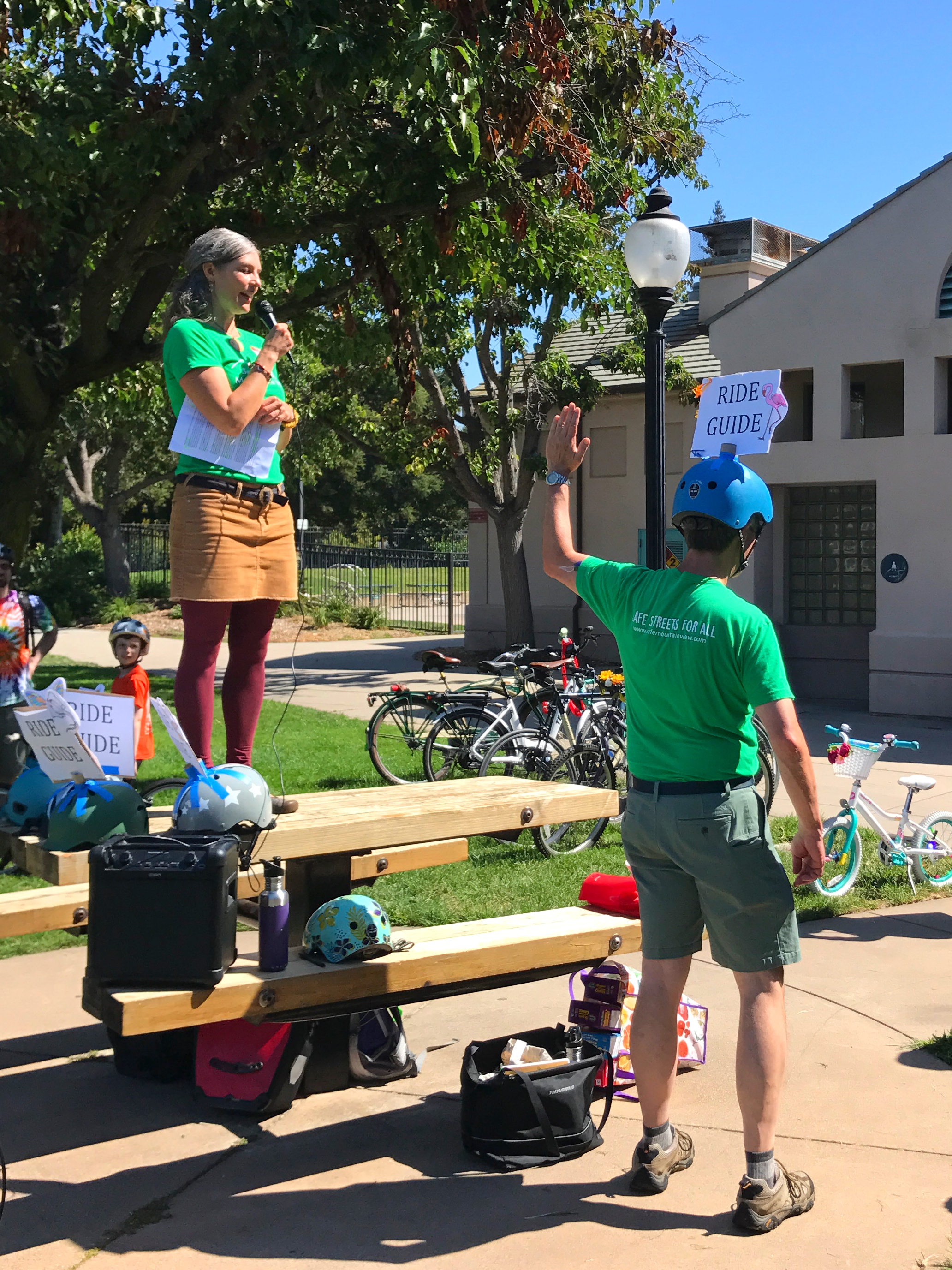
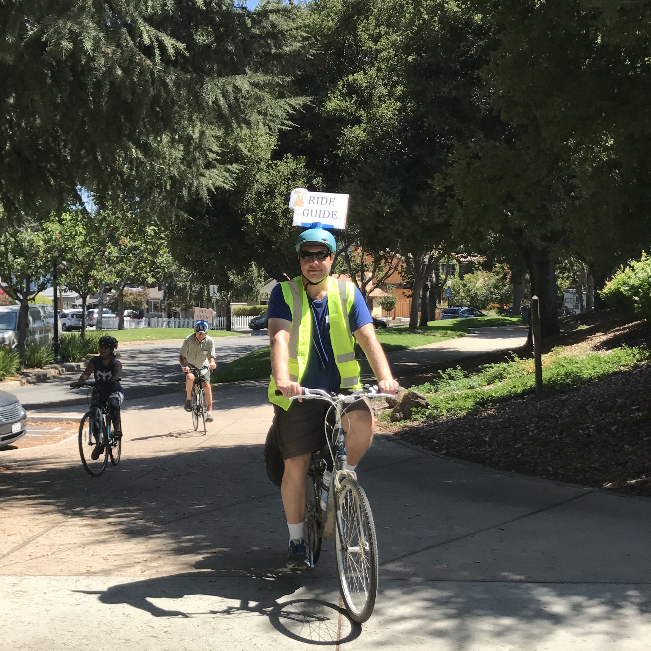
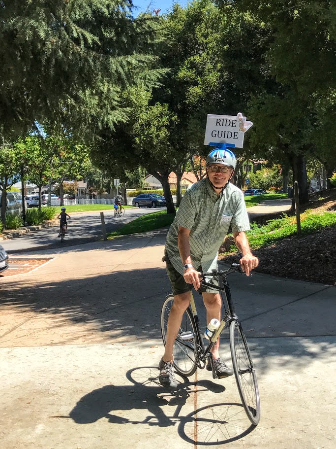
Before the ride Cherie Walkowiak and John Scarboro gave a short safety talk demonstrating hand signals, providing instructions for how to ride safely in “bike bus” groups during the ride, and introduced our Ride Guides (modeling the latest in helmet fashions designed by our very own Jessica Hirschfelder) who would help direct the group through the route.

The route
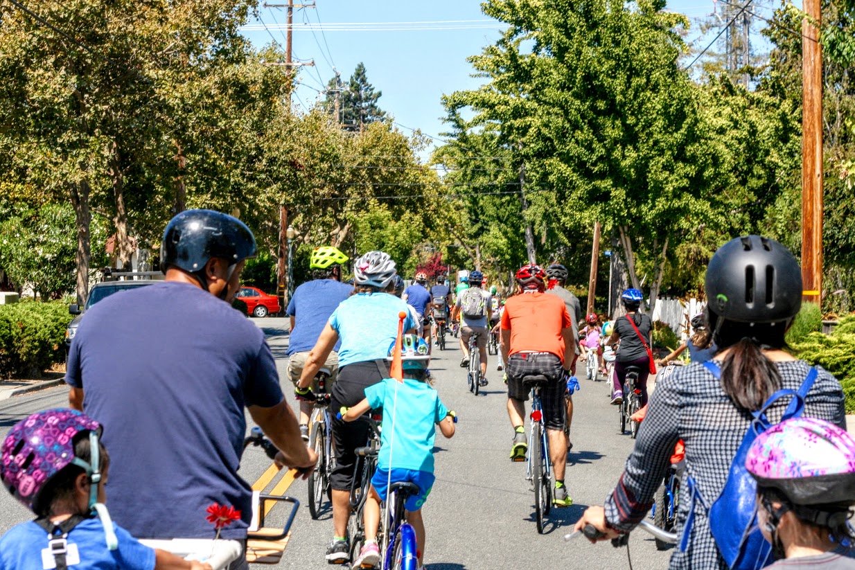
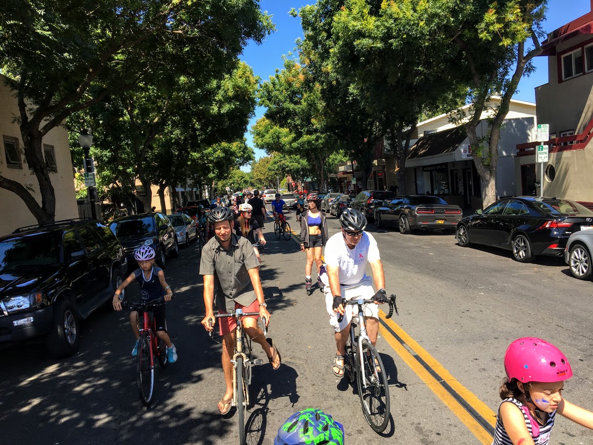
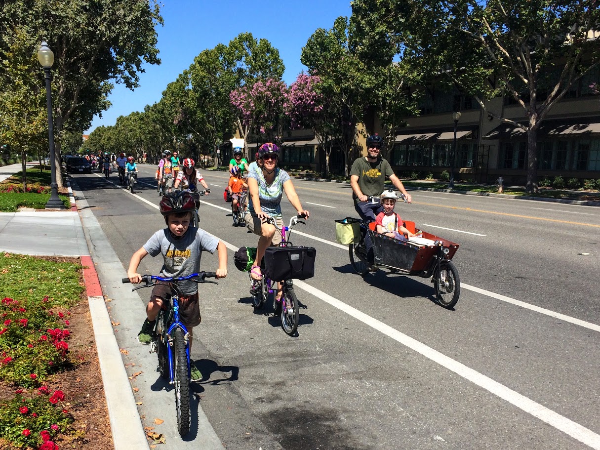
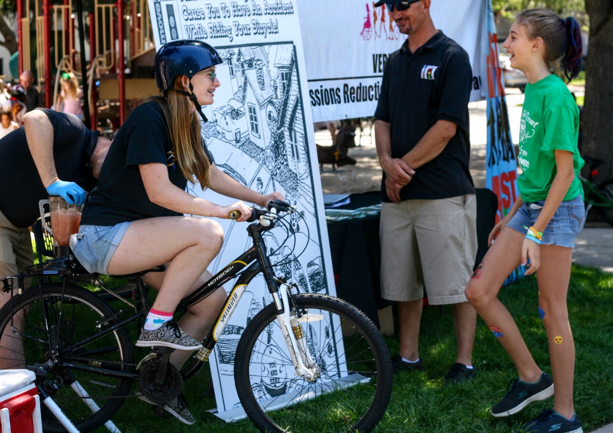
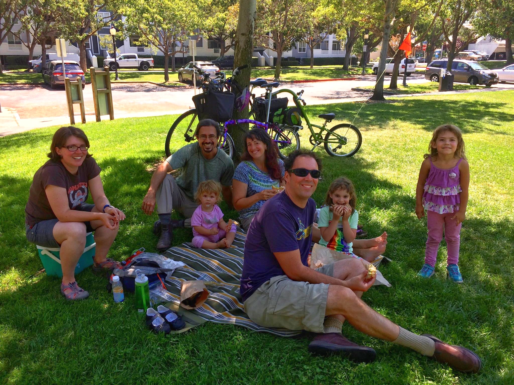
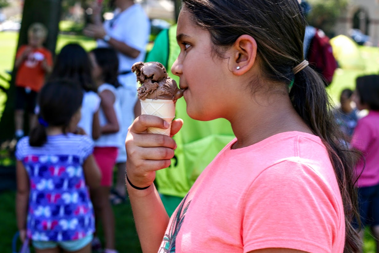
With John setting the pace as our Ride Leader, we set off! We followed the route through the Shoreline West neighborhood and Mariposa Park and then back through Downtown to connect to Stevens Creek Trail and Landels School before making our way back to Eagle Park. Altogether the route was 3.6 miles. Our faithful Ride Sweep Dick Kiser brought up the rear. Back at Eagle Park, volunteer Jennifer Sumant furiously scooped out the free ice cream cones to meet the demand of our hungry riders! Some families picnicked on the grass while the young riders lined up to grind their own smoothie on Safe Moves’ bike blender!
Thanks so much to Silicon Valley Bicycle Coalition for providing insurance for the event, Baskin Robbins for donating ice cream, Cognition Cyclery for providing tune-ups, Maylyn Co the Injury Prevention Coordinator from Stanford Health Care for helmet fitting, and Safe Moves for bringing the bike blender.
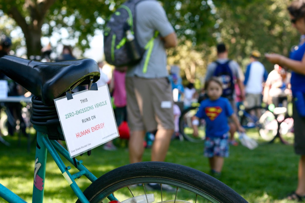
The 2017 Family Bike Ride was brought to you by Great Streets Mountain View and Safe Mountain View, two local non-profit organizations dedicated to making biking and walking safer and more pleasant in our community. We hope the Family Bike Ride promotes enthusiasm for biking and raises awareness of how the community can get involved with promoting the safety and comfort of our biking environment.
Consider telling your city council members about your interest in biking with your family and the importance of safe streets for people of all ages. You have power at the local level and your voice counts. This is a positive thing and you may even find making your city better is fun. If you would like to stay informed about the plans for cycling improvements as well our future rides and events, please subscribe to our Newsletter or follow us on Facebook. If you’d like to get directly involved now, you can email Mountain View City Council at citycouncil@mountainview.gov. We can all do our part to make the future better!
More ride photos courtesy of Janet Lafleur
Powered by flickr embed.
by Tracy | Mar 28, 2017 | Latham-Church Bike Boulevard
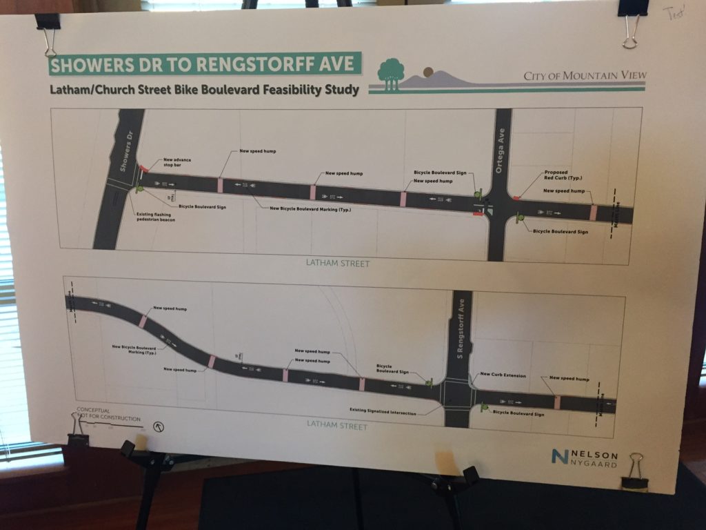
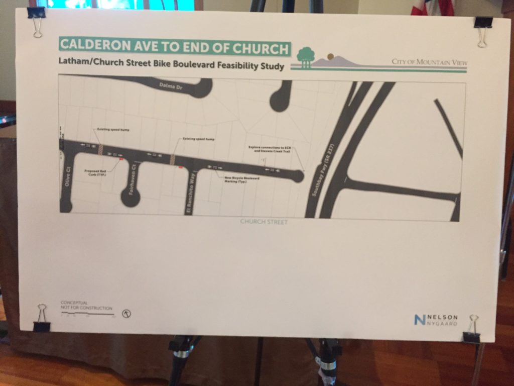
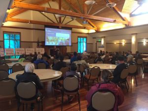 Last night, the City of Mountain View hosted a public meeting to review the results of the Latham Ave / Church Street Bicycle Boulevard Feasibility Study. After many years of discussion by city council, city staff, BPAC (Bicycle Pedestrian Advisory Committee) and local bicycling advocates it’s very exciting to see some positive momentum in the creation of the bike boulevard. At the meeting, the city’s consultants from Nelson-Nygaard presented the results of the study and the initial plans to an audience of about 40 residents.
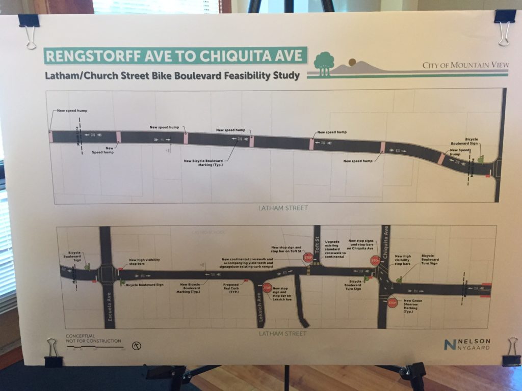
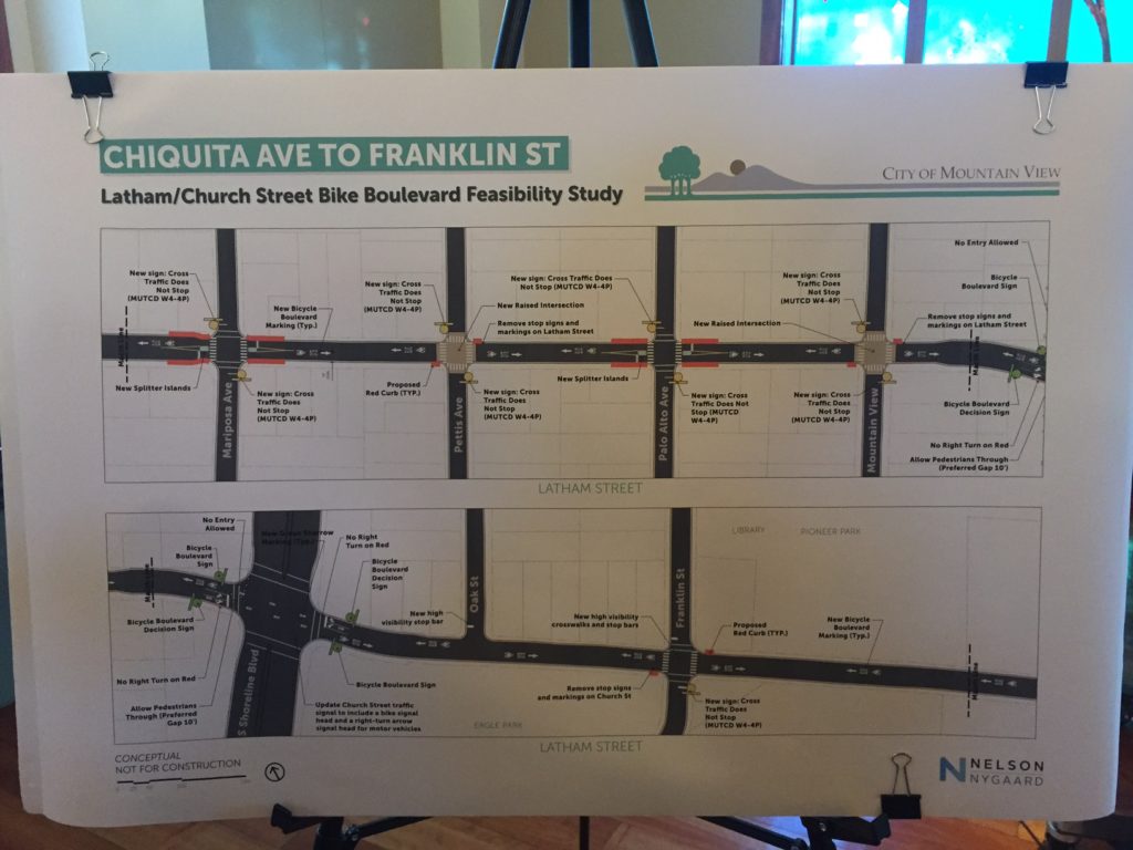
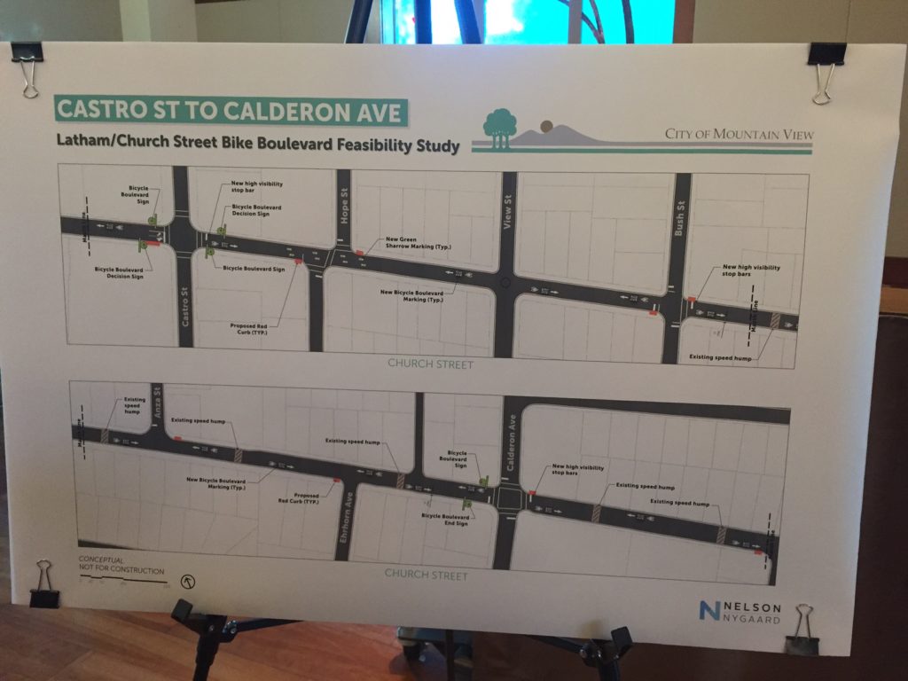
A bicycle boulevard is a street with low automobile volume that is designed to give bicycle traffic priority. (A nearby example is Bryant Street in Palo Alto). At the meeting, Alex Sweet, a consultant from Nelson/Nygaard who worked on the feasibility study, shared some of the key design elements employed in bicycle boulevards to create a low-stress and relaxed environment for bicyclists including pavement markings, wayfaring signs, and automobile traffic calming and diversion.
As explained during the meeting by Greg Unangst, long-time resident and BPAC member, the Latham/Church corridor is ideal for a bicycle boulevard because it is one the few uninterrupted North-South corridors in Mountain View and it is a good bicycling alternative to El Camino Real being only one block away. Also, there are possibilities to connect the southern end to the Stevens Creek Trail.
Alex shared the initial concepts for the bicycle boulevard which incorporated many design elements including speed bumps, pavement markings, wayfaring signs, raised intersections, refuge islands, additional stop signs on cross streets and auto traffic diverters at Shoreline and Ortega.
As next steps, the feasibility study will be presented to the BPAC and then to City Council for comments and prioritization as part of the Capital Improvement Plans.
by Tracy | Sep 9, 2016 | Bike lanes, Escuela Avenue
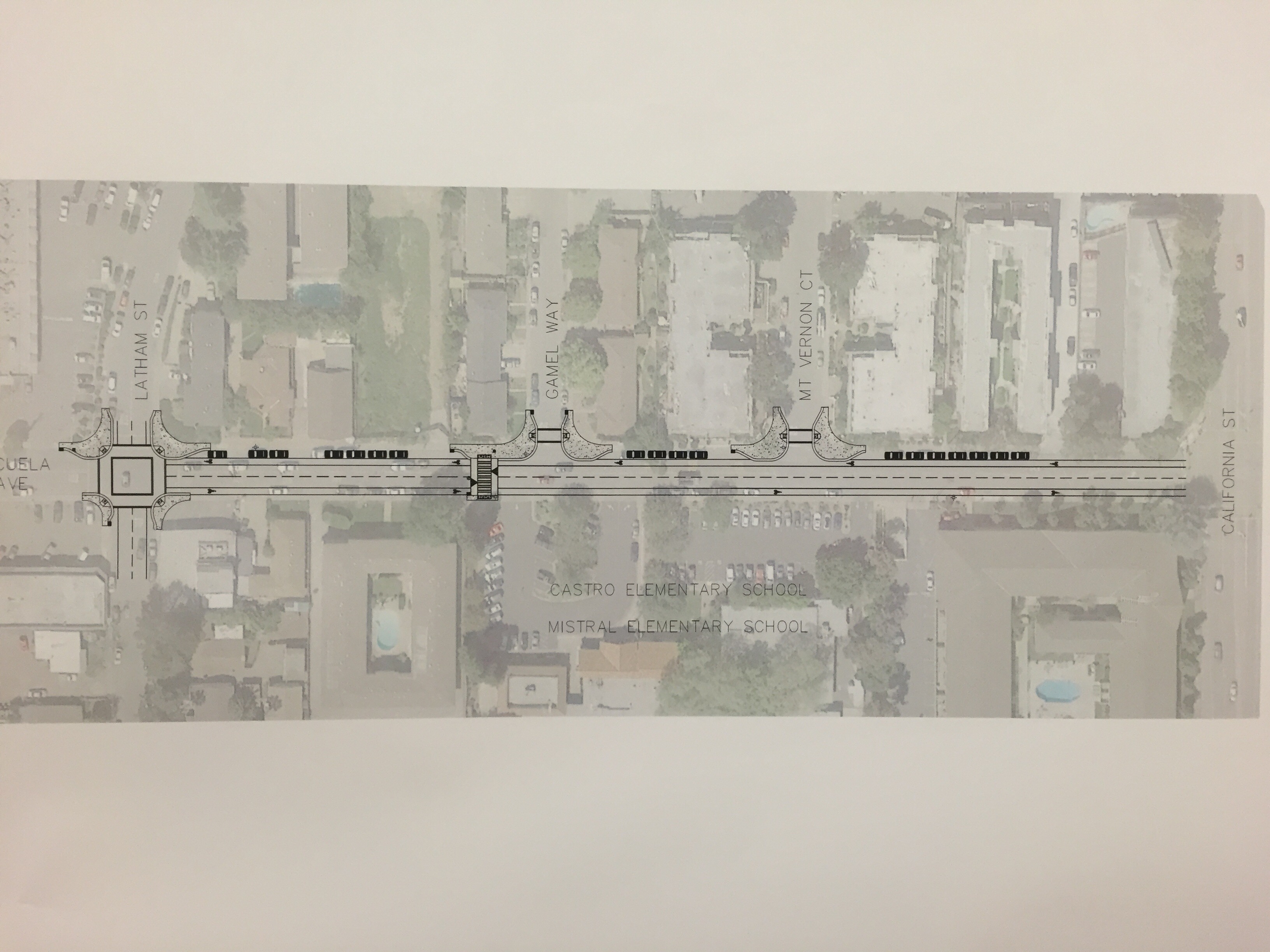
Great Streets Mountain View has long held a vision of Escuela Avenue as a complete street which welcomes pedestrians and bicyclists and an important part of a broader bicyclist-friendly network of streets spanning our city. Escuela Avenue is home to two schools (Castro Elementary and Mistral Dual Immersion) and many families find getting to school along Escuela, with its crowded streetscape and lack of sightlines, a stressful and treacherous experience. Many have expressed that they would bike to school but are afraid to do so because it isn’t safe. It’s imperative to create a safer environment for students and their families who walk to school (245 students each day, 45% of enrollment) and encourage more students to bicycle (only 20 each day, 3% of enrollment). [Source: Vehicle Emissions Reductions Based at Schools (VERBS) Dec 2015 ]
Last night the City conducted a Community Meeting to share the details of the Escuela Avenue project to improve bicycle and pedestrian safety. About 30 members of the public attended the meeting including neighborhood residents, parents of children who attend the Mistral and Castro schools, bike commuters, and MVWSD Superintendent Dr. Ayindé Rudolf.

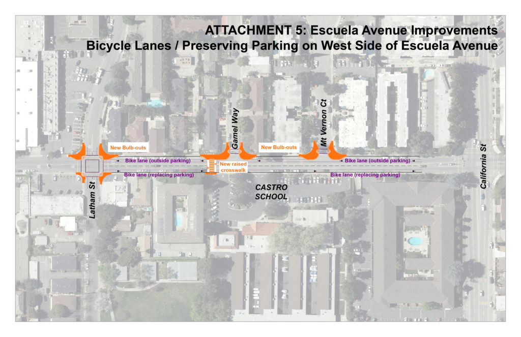
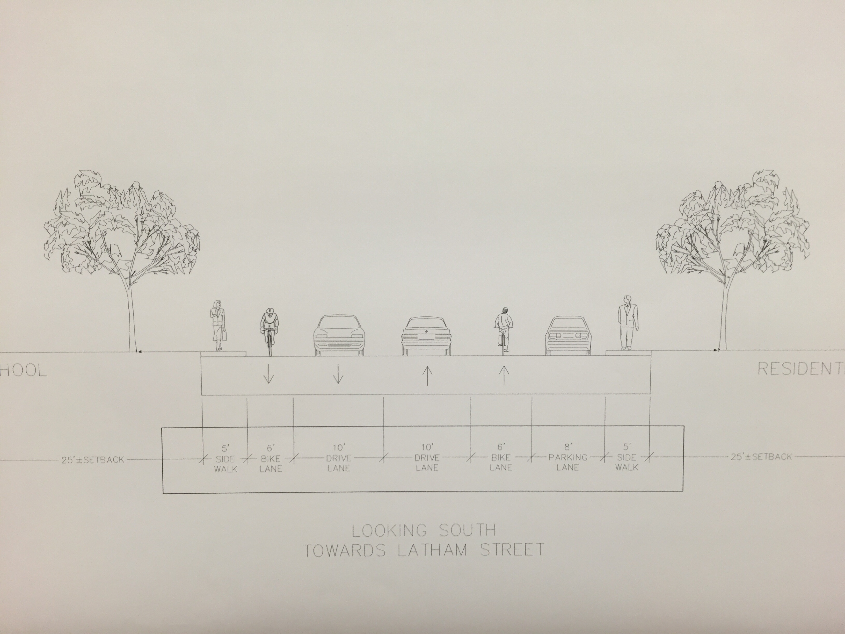
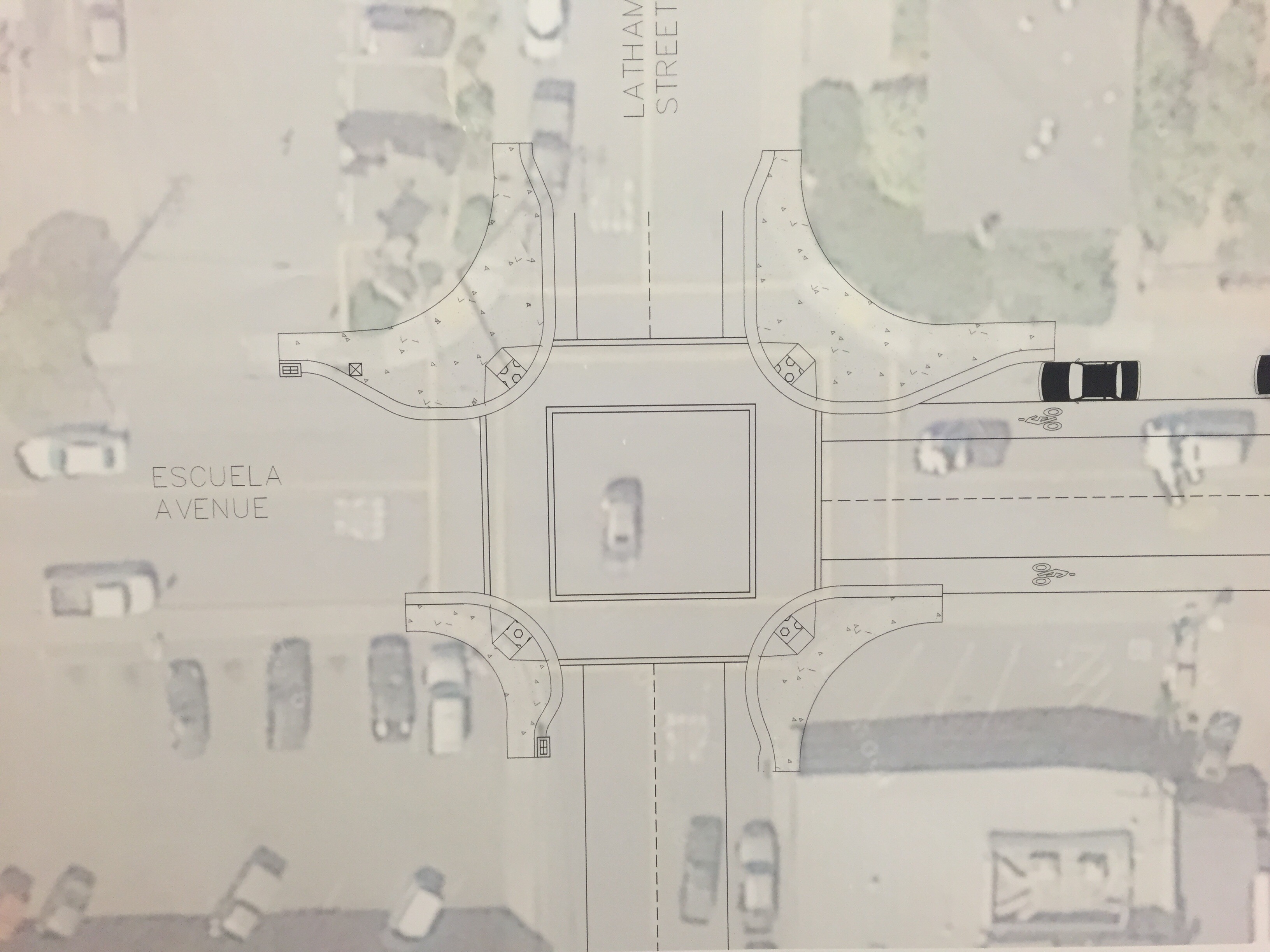
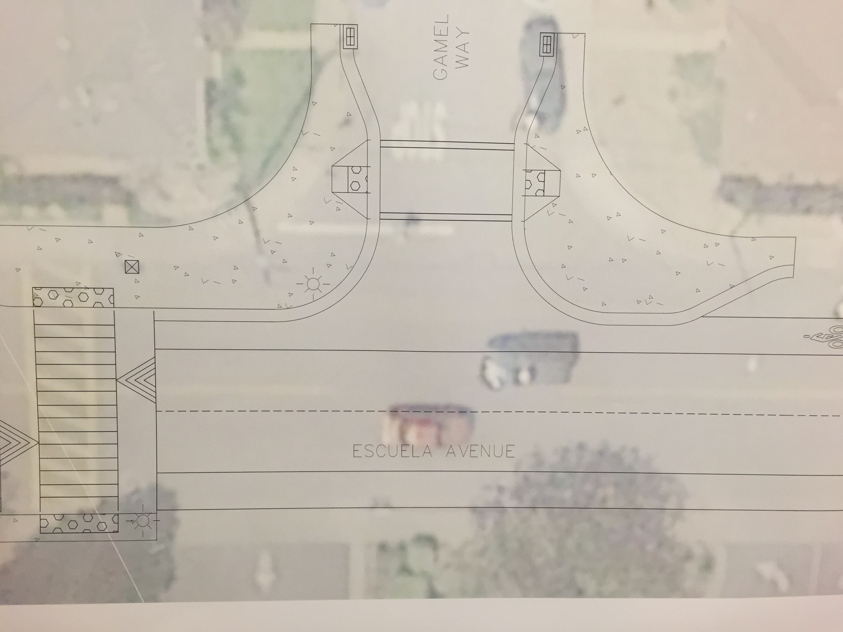
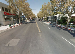
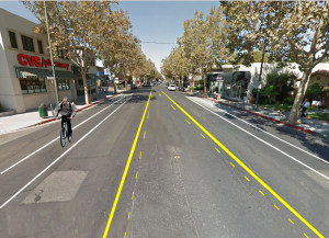
The project introduces bulbouts at Latham Ave, Gamel Way, and Mt. Vernon Ct. Bulbouts extend the sidewalk, reducing the crossing distance and give pedestrians who are crossing and vehicle drivers better visibility of each other. In addition, the project includes raised crosswalks to improve visibility and calm vehicle speeds and the installation of 6-foot bicycle lanes on both sides of the street.
To accommodate the bulbouts and the bike lanes, the car lanes need to be narrowed from 12 feet to 10 feet and the parking on the east side of the street adjacent to Castro and Mistral school would need to be removed to shift over the vehicle lanes losing a total of 22 parking spaces.
During the meeting, the City officials encouraged questions and comments about the project. Attendees expressed very diverse points of view. Several neighborhood residents described an acute lack of parking in the neighborhood and described situations where they had to park blocks away from home at night, including the World Market parking lot, because they could not find open spaces. Also several parents of students mentioned that they were very much in favor of the project because the current environment was uncomfortable and dangerous and these changes would enable them to start cycling to school.
The project, which was approved in concept by the City Council as part of the California/Escuela/Shoreline Complete Streets Study is slated to be paid for by the developers of a new apartment building at 394 Ortega Ave as a community benefit to the City. On September 20th, 6pm, the City Council will be voting on whether to select this project as a community benefit. If you would like to see Escuela bike lanes and pedestrian improvements, please show your support by:
Below are conceptional drawings of the project presented at the meeting:
UPDATE 1/8/2017: At the City Council Meeting on 9/20/2016, the City Staff recommended the construction of the crosswalk enhancements and to forgo the bike lanes and bulbouts as part of the community benefit for the project at 394 Ortega Ave. The City Staff cited the concern of neighborhood residents about losing parking spaces to make room due for the bike lanes. The raised crosswalks on Escuela will be constructed as part of the development project (outside of community benefits). And the City Council unanimously approved moving forward with the development project (with environmental study and development review permit) with no restriction on the public benefit funds so they could be used to fund Escuela Improvements or another community benefit inside or outside of the San Antonio area in the future. In general, the City Council members expressed their strong support for safe routes to school and bike lanes on Escuela. However, they were concerned that the proposed design was still not safe enough for elementary school students and about the constrained parking for neighborhood residents as well as parents during dropoff and pickup. They generally supported reworking and improving the Escuela bike lanes plan and City Staff said that the next window of opportunity was to assign for the CIP for the Fiscal Year.
Records for 9/20/16 City Council Meeting
by Heshuang | Aug 16, 2015 | Great Streets
For many years, cities in the United States designed urban streets mainly for moving cars. But recently, the complete streets movement that aims to make streets safer for all modes of transportation has spread out nationwide. In the Bay Area, from Palo Alto to Morgan Hill, from Redwood City to San Jose, a number of cities have been rethinking street design by shifting the priority to pedestrians and cyclists. Below we highlight the lane reduction projects in some our neighboring cities. Through most projects are still in an experimental period, they can be an inspiration for Mountain View.
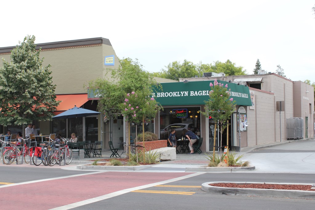
California Avenue, Palo Alto
The California Avenue streetscape improvement project was completed in early May. This $7.1 million project has cut the number of vehicle lanes from four to two between El Camino and the Caltrain station, widened sidewalks, and added new light fixtures. It aims to calm vehicular traffic, improve the walking environment, and increase pedestrian traffic to boost local business. The city had gone through a long process to convince the local business to make this change happen. Upon the completion of the project, some previous critics became fans. Read more: “City celebrates revamped California Avenue”

Source: www.paloaltopulse.com by Ian Sears
Lincoln Avenue, Willow Glen in San Jose
In order to calm the traffic at downtown, the city of San Jose is conducting a brief road diet trial along the Lincoln Avenue to see whether the road diet could improve Downtown Willow Glen vitality by improving people’s shopping, biking and walking environment. During the trial period from March to June this year, the Lincoln Avenue will convert from a four-lane to two-lane street with a center lane for left turns and bike lanes in each direction. The project was supported not only by the city but also the local business association and residents.
Current Lincoln Avenue (Source:willowglenroaddiet.com)
Lincoln Avenue Proposed Road Diet (Source: willowglenroaddiet.com)
Monterey Road, Morgan Hill
In February Morgan Hill began a six-month complete street trial on Monterey Road through downtown. For more than 15 years, residents, business owners, and City Hall have discussed the idea of turning Monterey Road to a two-lane road and its potential improve safety for pedestrians and cyclists and the local economy. Some are skeptical about whether the change will benefit businesses and visitors as the proponents claim. The trial will reduce the number of lanes from four to two and will change the right lane on each side of the street to a buffered bicycle lane leaving the left lane reserved for vehicles. Throughout the experiment, the city will measure traffic and economic performance and report back to the council periodically.
Complete Street Demonstration Project , Morgan Hill (Source: Alta Planning)
Farm Hill Boulevard, Redwood City
In July this year, Redwood City began piloting a two mile road diet on Farm Hill Boulevard. The project will reduce the number of lanes from four to three (0ne lane in each direction and a two-way center turn lane) to calm the traffic. Currently, speeding is the primary cause of crashes causing injury on the street which occur about every other month and 60-90% of drivers exceed the 35 mph speed limit. This road diet pilot will last for one year for data collection and evaluation to determine if changes should be made permanent.
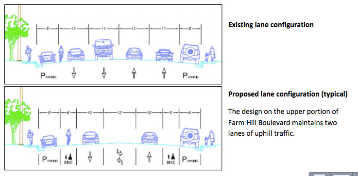
Lane Configuration on Farm Hill Road. Source: City of Redwood City
by Tracy | May 19, 2015 | Enforcement & Education
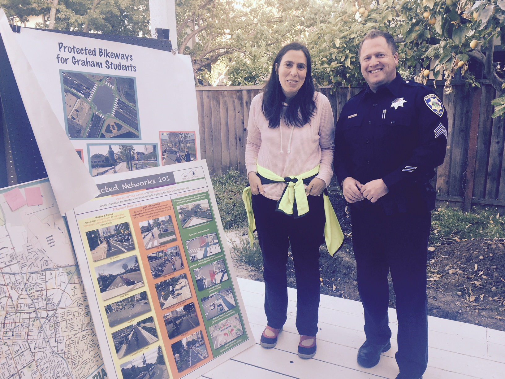
Great Streets Mountain View and Safe Mountain View met with Sgt. Saul Jaeger (@SgtJaeger) and Ofc. Chris Goff of the Mountain View Police Department today to learn more about traffic enforcement in Mountain View. We learned that Mountain View has 5 officers in the Traffic unit (out of about 95 total sworn-in officers) and they are recognizable about town because they are riding motorcycles. Also, we learned that all serious injury accidents (when someone goes to the hospital) are investigated and reported. In the case of fatalities, MPVD will close down the scene to conduct a 3D scan of the area and study the incident by trying to recreate the event from all perspectives. All traffic-related injuries are reported to the California Highway Patrol and data is publicly available through the SWITRS system.
We also had a chance to share our ideas for adopting Vision Zero in Mountain View as well as our proposals for making California Street and Shoreline Boulevard safer for cyclists and pedestrians. Thanks for Sgt. Saul and Ofc. Chris for spending the time to talk to us and give us your thoughts on our proposals. And special thanks to Pat Moore of Safe Mountain View for organizing and hosting the meeting!
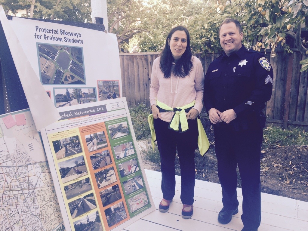
Jennifer talks to Sgt. Jaeger about the plans for lane reconfiguration of Castro Street in front of Graham Middle School.
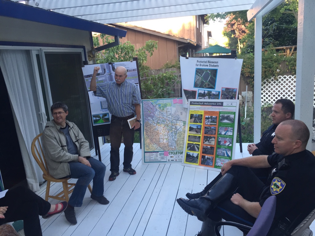
Greg shares ideas for how to get Mountain View to adopt Vision Zero, an initiative with the goal of no traffic deaths
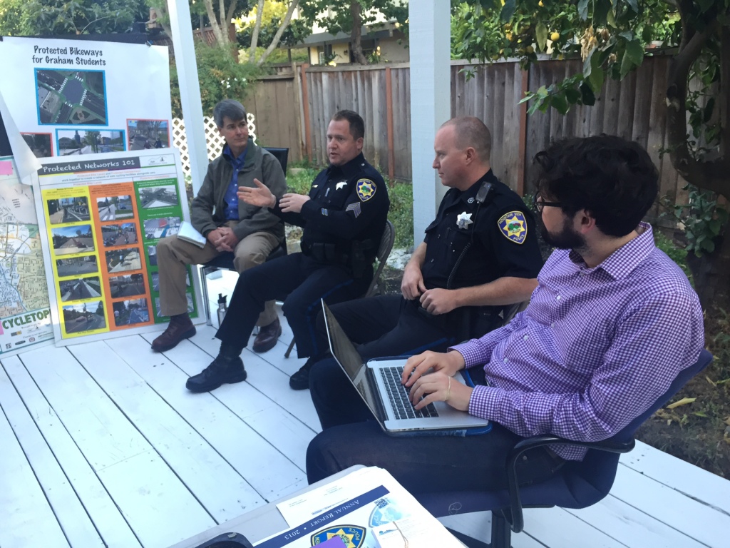
Sgt Jaeger and Ofc. Goff talk about how traffic collisions are investigated and reported by MVPD
by Tracy | Feb 1, 2015 | California Street, Shoreline Boulevard
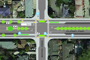
To help others visualize how California Street and Shoreline Boulevard can be transformed into Great Streets, we have created two bird’s-eye view diagrams for California Street and Shoreline Boulevard which illustrate our street design vision. Thanks very much to GSMV Board Member Jarrett Mullin for creating these designs. Please reach out to us if you have questions or suggestions by emailing us at contactus@greatstreetsmv.org.
A Complete Streets Study, sponsored by the City of Mountain View, is currently underway and we continue to bring you news for how you can get involved and providing your input.
We envision a safer California Street that welcome pedestrians, cyclists, transit riders and motorists in this vibrant and densely populated neighborhood. The map illustrates our vision for the intersection of California Street and Mariposa Avenue, a crossroads of the neighborhood that connects Mariposa Park with the corner market.
Key elements of the design include a reduction of car travel lanes from four to two with a shared middle turn lane, wider sidewalks and corner bulbouts for better pedestrian visibility and safer crossings, a bicycle lane which is separated from the car traffic by a landscaped and low median and street parking, and a bus island. These design changes will calm traffic and which frequently exceeds the posted 35 mph speed limit.
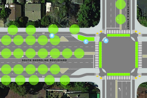
We envision a South Shoreline Boulevard which has the qualities of a leafy, traffic calmed neighborhood, but also continues to serve the volume of transient automobile traffic. The reconfiguration of South Shoreline Boulevard into a multiway boulevard with four auto travel lanes and two traffic calmed access lanes will separate fast moving car traffic from the sidewalk area and the front yards of surrounding homes. This will create a leisurely bicycling and walking environment similar to a neighborhood street in the surrounding area. The map illustrates our vision for the intersection of Shoreline Boulevard with California Street and also includes a protected intersection which maintains the continuity and safety of a protected bike lane.
by Tracy | Sep 3, 2014 | City Council, Elections, Events
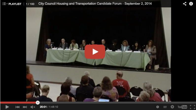
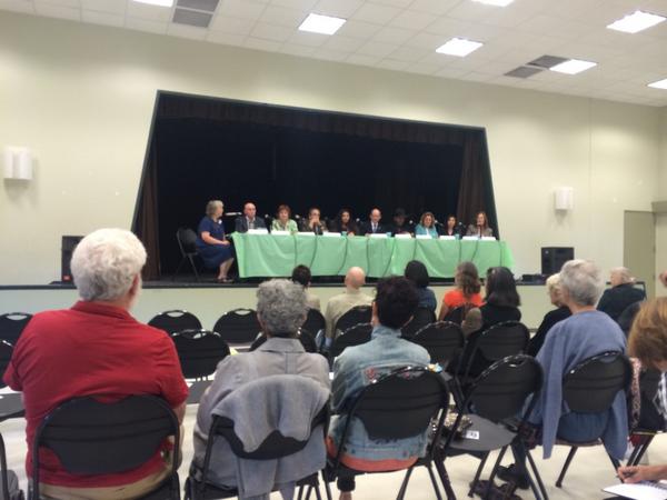 Mountain View will select three new City Councilmembers this November to join the four existing Councilmembers. This new City Council will define the character of Mountain View for years to come. During their term, they will decide the intensity and type of development in the San Antonio, North Bayshore, El Camino Real Corridor, and East Whisman areas. They will decide how we will allocate space to motorists, bicyclists, pedestrians, and transit riders throughout the city including California Street and Shoreline Boulevard. They will tackle thorny issues like how much and where to grow the housing supply and office space, the minimum wage, and Bus Rapid Transit. How do the candidates stand on these issues? How do you stand on these issues? More than 120 people turned out at the Housing & Transportation Forum yesterday to join the conversation by submitting their questions and hearing all nine City Council Candidates articulate their vision for Mountain View. As Keith wrote in the comments of our Candidate Forum Page, “The conversation is headed in the right direction. What a special time to be in The MV!”. We agree!
See below to watch the video of the Candidates Forum and to catch the live tweets from @ladyfleur and @jakatmu
The Forum was co-sponsored Great Streets Mountain View, Bicycle Exchange, Community Action Team, Friends of Caltrain, Greenbelt Alliance, Safe Mountain View.
Special thanks to Debbie Mytels for moderating the forum and Wendee Crofoot to for organizing the event!
Candidates for Mountain View City Council
Vote for 3 candidates on November 4th | Register to Vote
Watch the Video
Live Tweets
by Tracy | Aug 11, 2014 | Events
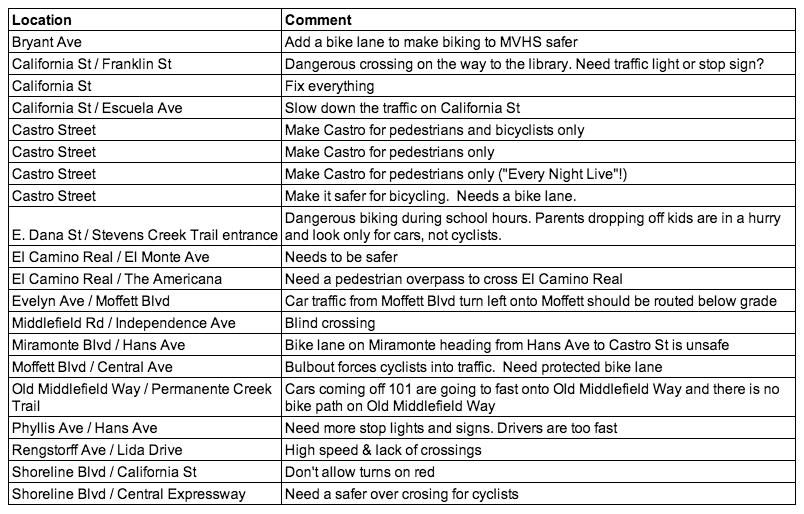
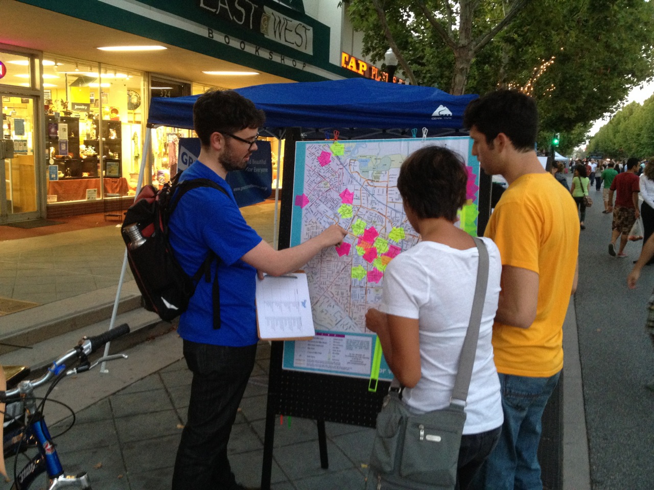 At the our Thursday Night Live booth last week, we invited you to answer the question “How can we make Mountain View a better place for walking and biking?” We were amazed by your passionate and detailed descriptions of the street segments, crossings, and corners that need safety improvements. We’ve summarized your feedback below and will be making the results available to Mountain View’s Bicycle Pedestrian Committee, the Department of Public Works, and City Council. Please feel free to keep those suggestions coming by sending email to contactus@greatstreetsmv.org.
More Scenes from the GSMV booth at Thursday Night Live
[portfolio_slideshow id=2300 size=large slideheight=600 exclude_featured=true pagerpos=top exclude=”2332″]
by Tracy | Jul 25, 2014 | Bike lanes, Events
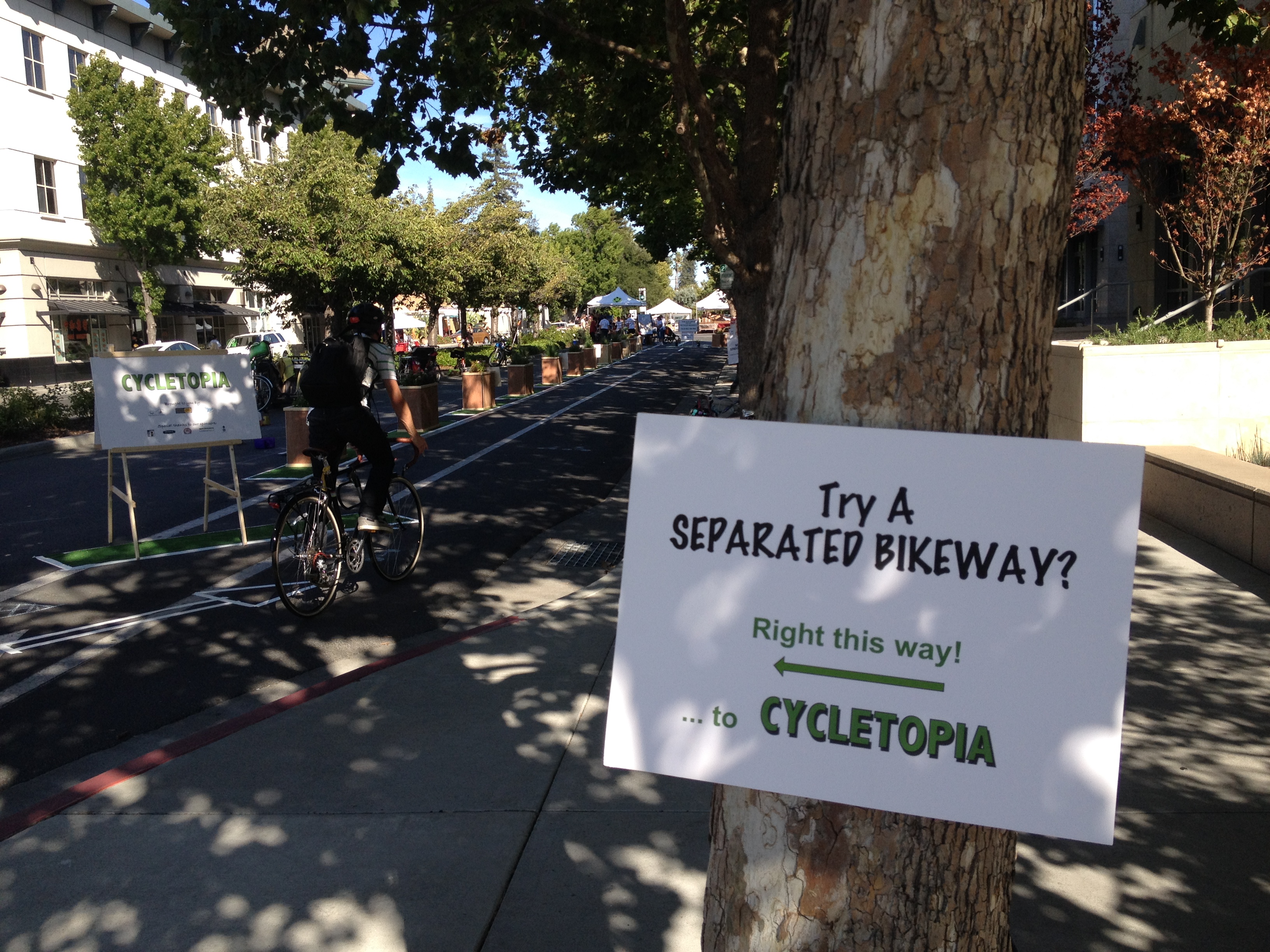
Thanks to everyone who came to our Thursday Night Live booth to experience the demonstration separated bikeway and for providing your thoughts on how to make Mountain View a better place for bicycling. We had a great time! We hope you did too!
Thanks to Silicon Valley Bicycle Coalition and Safe Moves for your generous support and to the City of Mountain View Recreation Department for letting us take over a block of California Street. And a big kudos to the Safe Mountain View team who were the driving force behind the event.
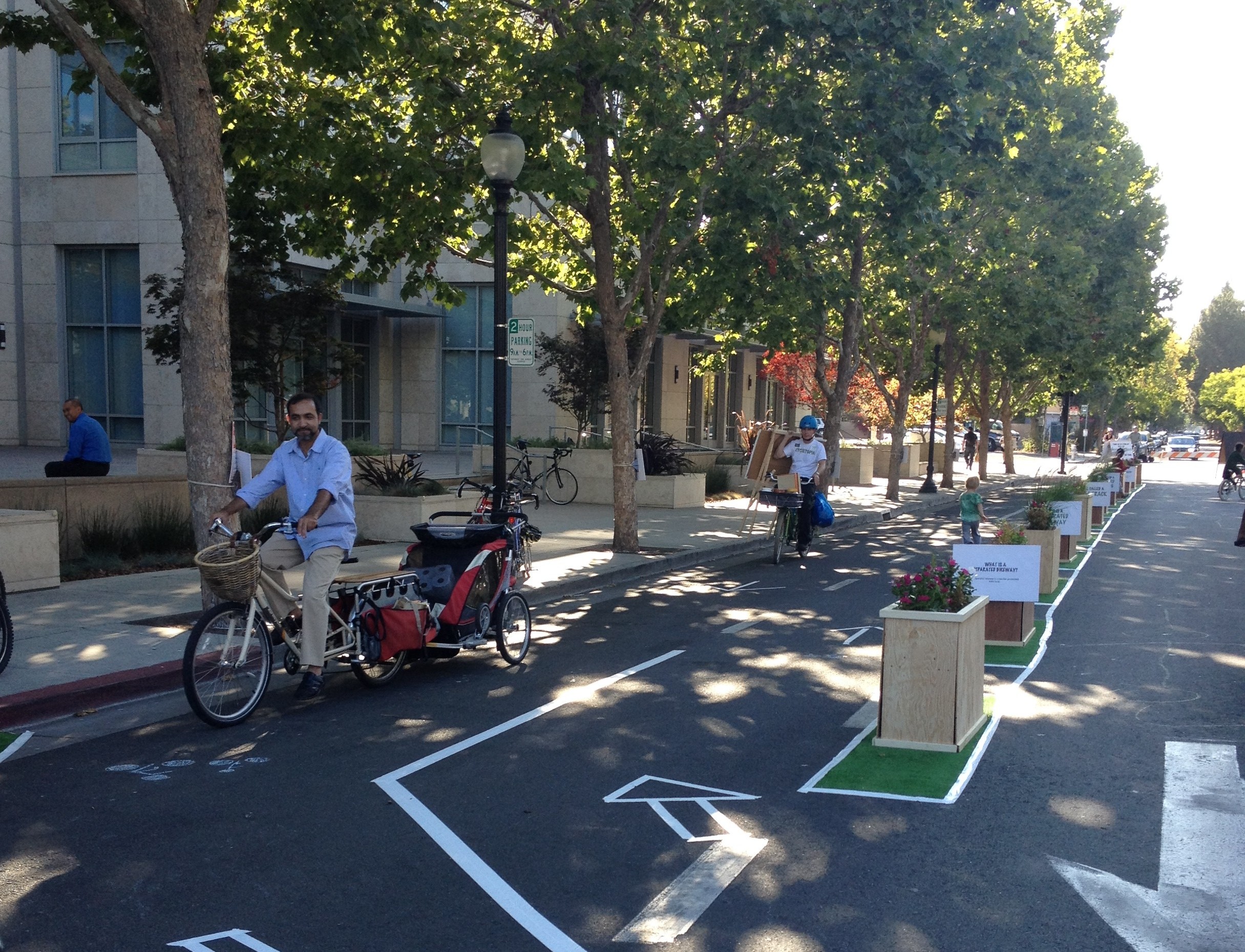
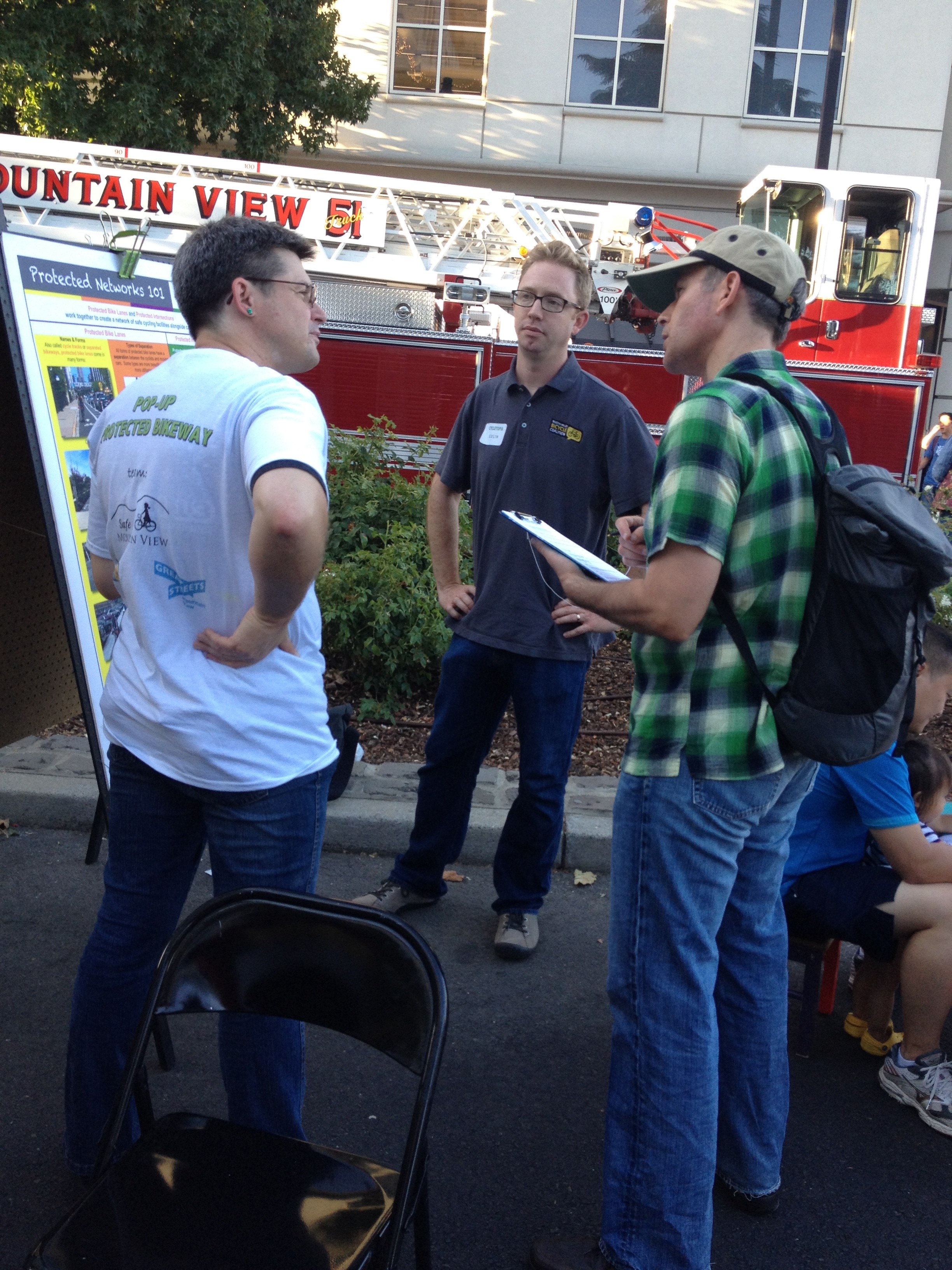
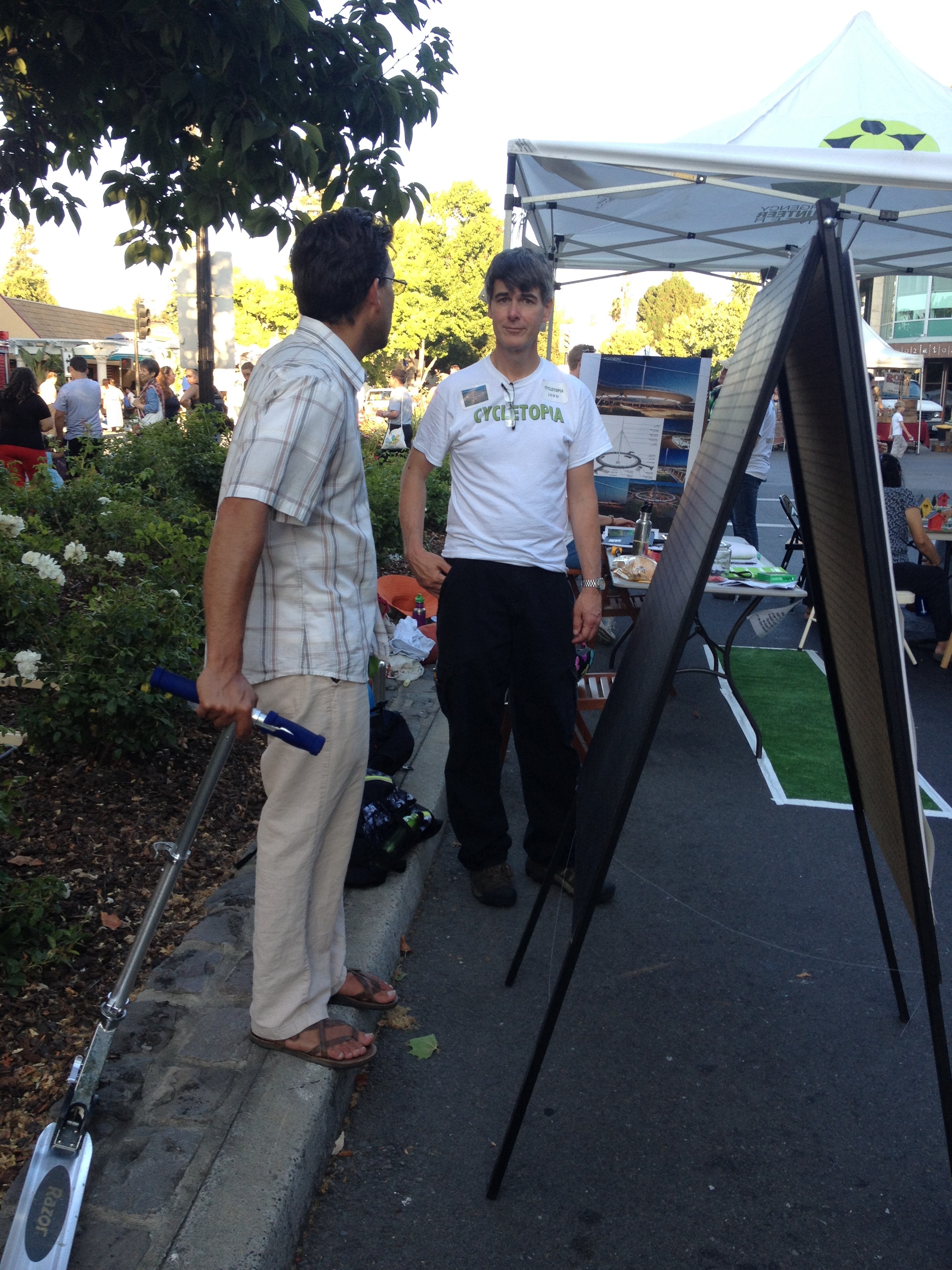
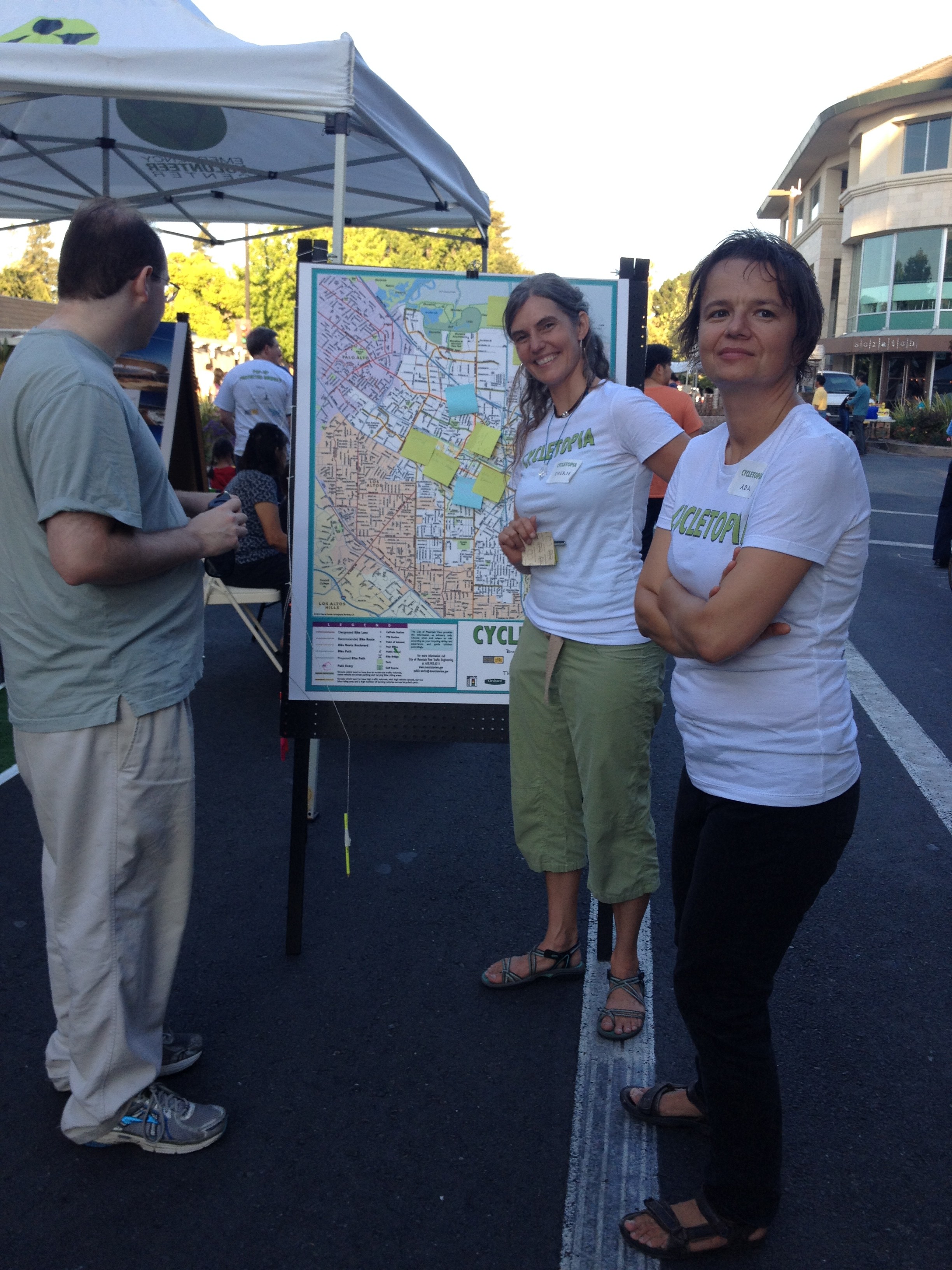
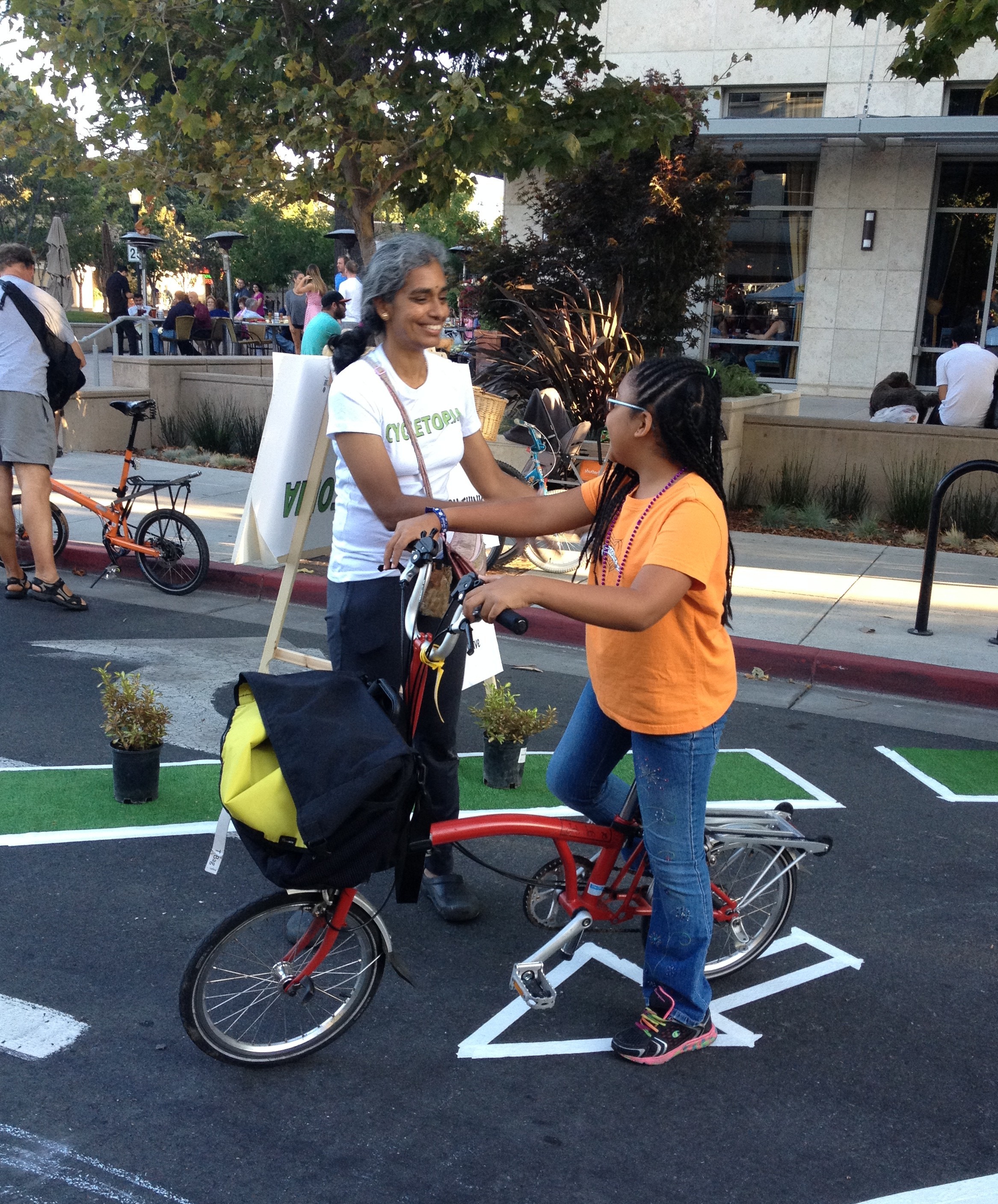
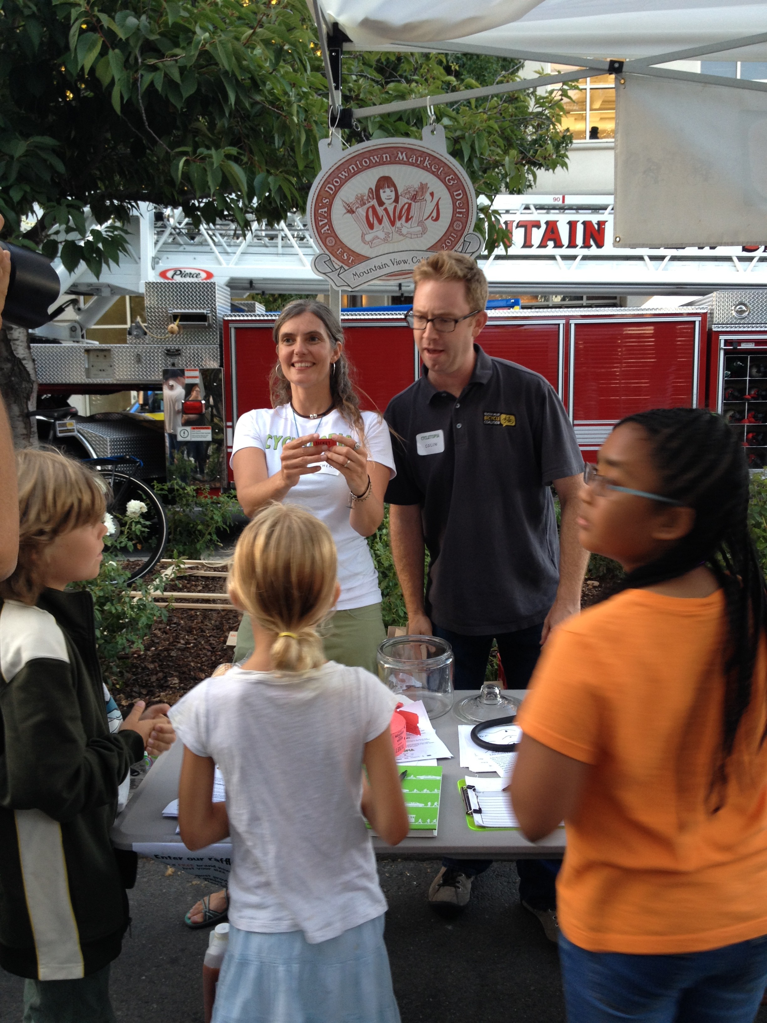
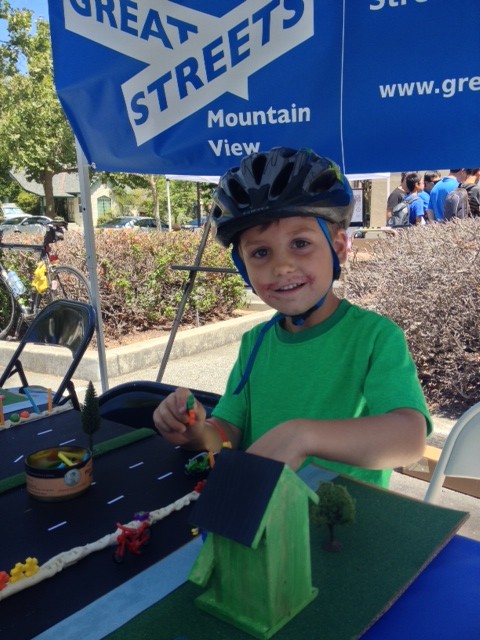
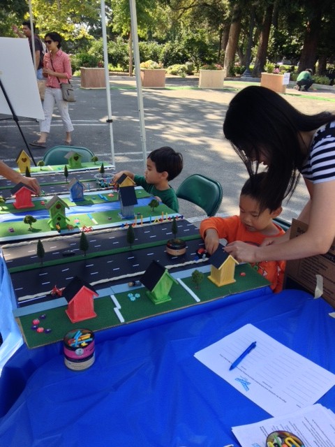
And now some scenes from Cycletopia!
Setting up…

Taking a spin on the cycle track with one of our loaner bikes…. (and check out John’s impressive cargo-toting skills on the bike!)
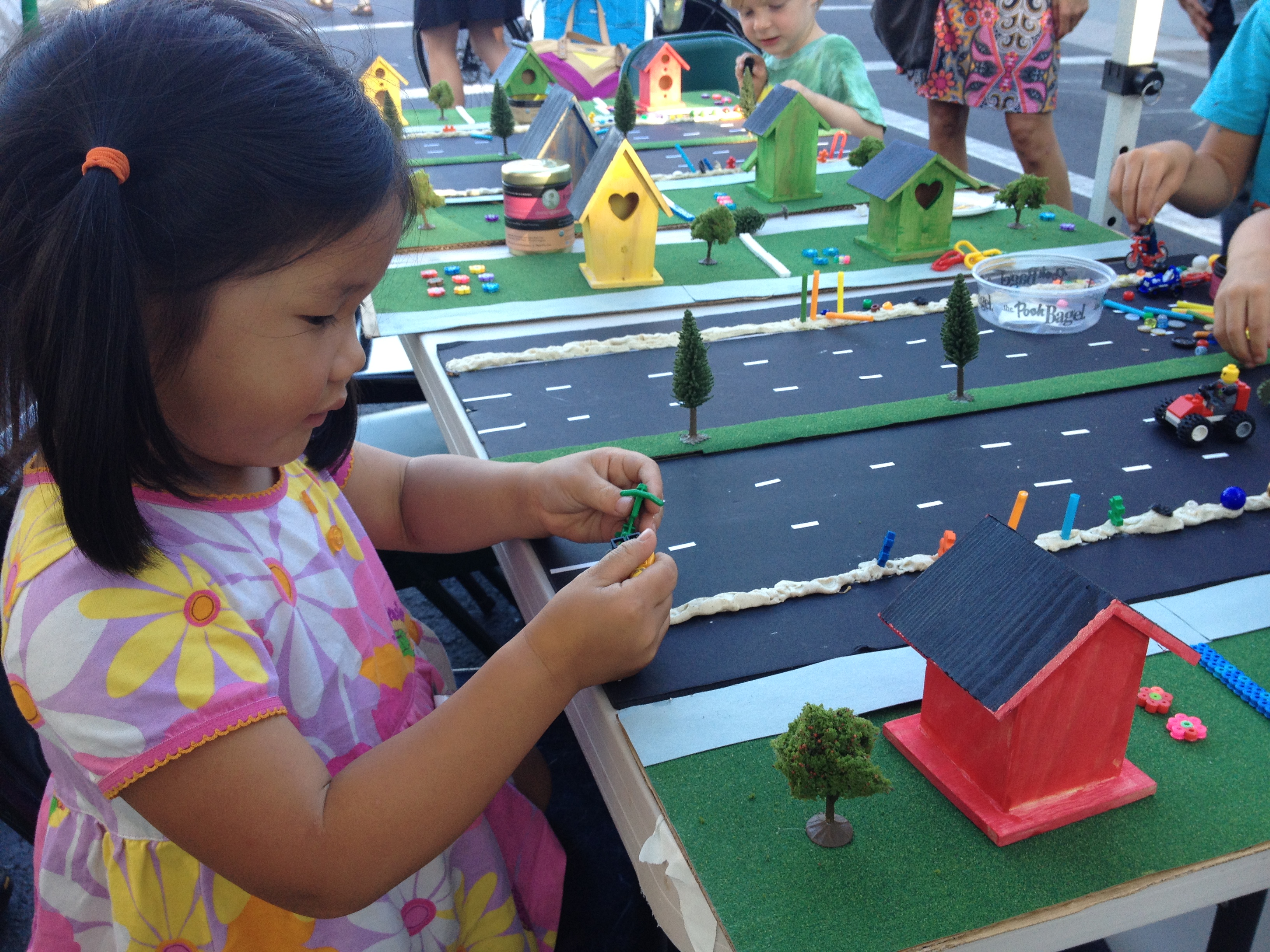
Youngsters create their own separated bikeways on our model streets…
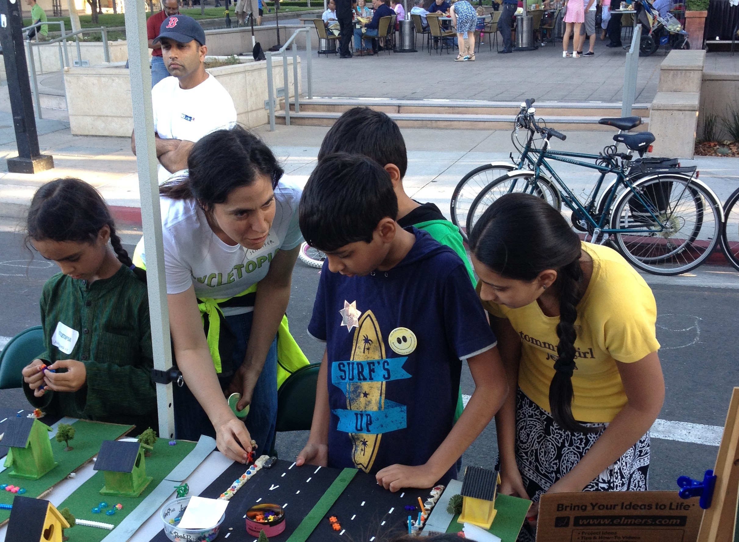

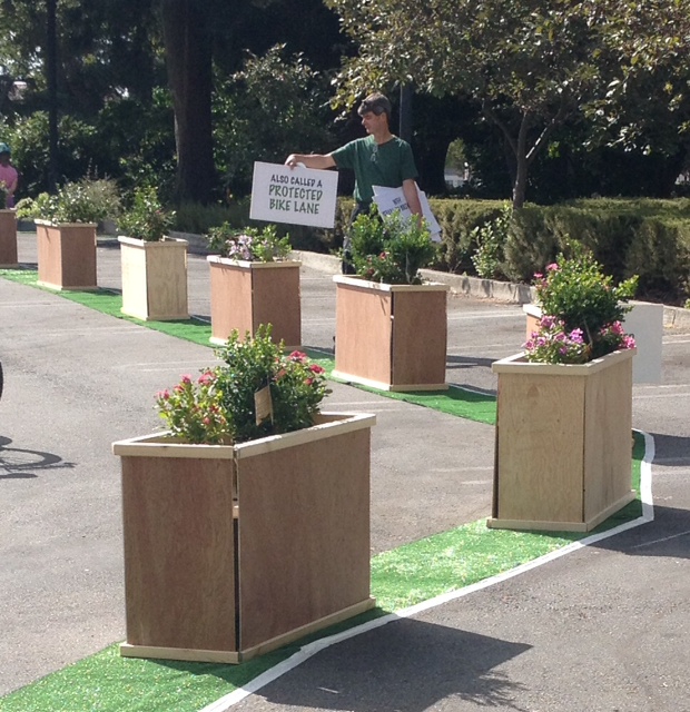
Discussing bicycle infrastrastructure: protected bike lanes and protected intersections….
Where do you want to see better bike lanes? Plot it on our map….
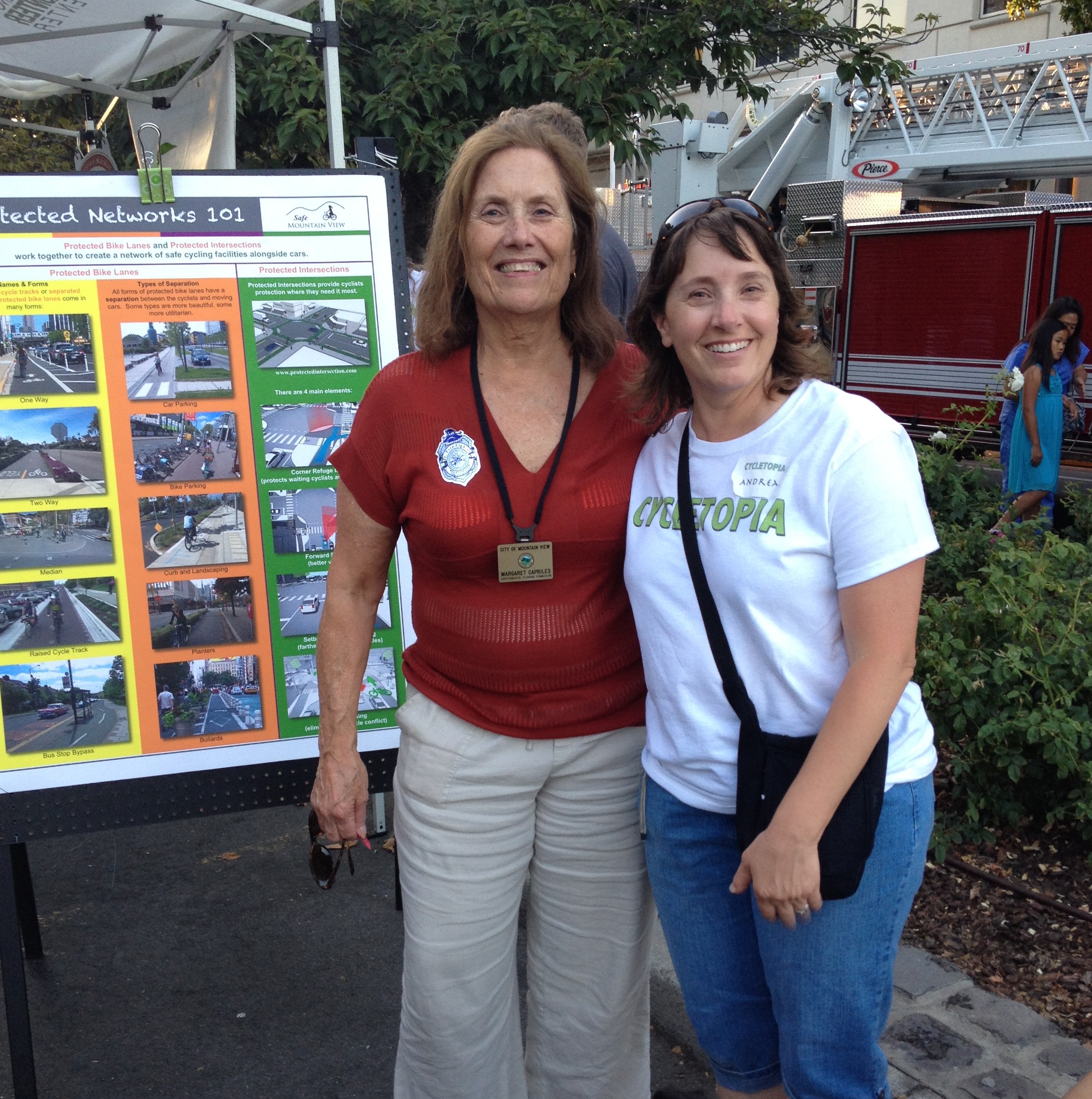
Visits from City Council candidates Margaret Capriles (shown below), Ken Rosenberg, Lenny Siegel, and Greg Unangst….
A fun ride!
“And the winner of the free bike is…”
by Tracy | Jul 15, 2014 | Bike lanes, Events
Last weekend, at our Bikefest booth, these young bikers learned about protected bike lanes, saw pictures of inspiring bike lanes from around the world, and had a chance to build their own protected bikelane on our model street.
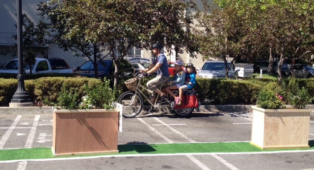
And they also had a chance to ride through the cool demonstration protected bike lane that was hosted by Safe Mountain View:
Missed the fun? Don’t worry, you will have another chance to ride the demonstration bike lane and build your own on our model street at Thursday Night Live on Thursday July 24th, 5:30-8:30pm, Castro Street @ California Street